Small airport · India
Jalgaon AirportVAJL
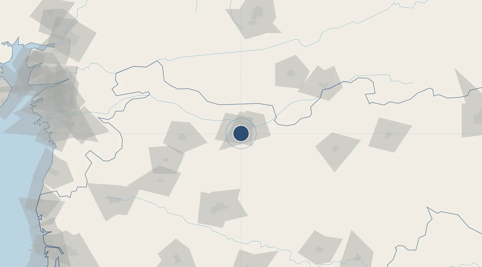
20.9627°, 75.6275°
5,958 ft
Longest runway
1
Runways
818 ft
Elevation
Runway & Layout

Radio Frequencies
TWR
124.3 MHz
Jalgoan Tower
SKYNEX AERO
131.675 MHz
Runways · 1
| Runway | Dimensions | Surface | True heading | Lit |
|---|---|---|---|---|
| 09/27 | 5,958 × 75ft | Bitumen | 089° | ✓ |
Airport Specifications
IATA code
JLG
ICAO code
VAJL
Airport class
Small airport
Scheduled service
Yes
Runway surface
Bitumen
Served city
Jalgaon
Location
Nearby Logistics Neighbours
Airports
- 1Aurangabad Airport125 km
- 2Akola Airport151 km
- 3Shirdi International Airport193 km
- 4Devi Ahilya Bai Holkar International Airport196 km
- 5Nashik International Airport202 km
Cities
- 1Dhule88 km
- 2Sendhwa97 km
- 3Aurangabad124 km
- 4Maliwada124 km
- 5Shahada137 km
Ports
- 1Magdalla299 km
- 2Hazira311 km
- 3Dahej331 km
- 4Jawaharlal Nehru Port (Nhava Shiva)358 km
- 5Bhavnagar363 km
DatabookThe Record of Consolidated Knowledge
India beyond logistics?