Transport Functions
Port
Rail
Road
Hub Profile
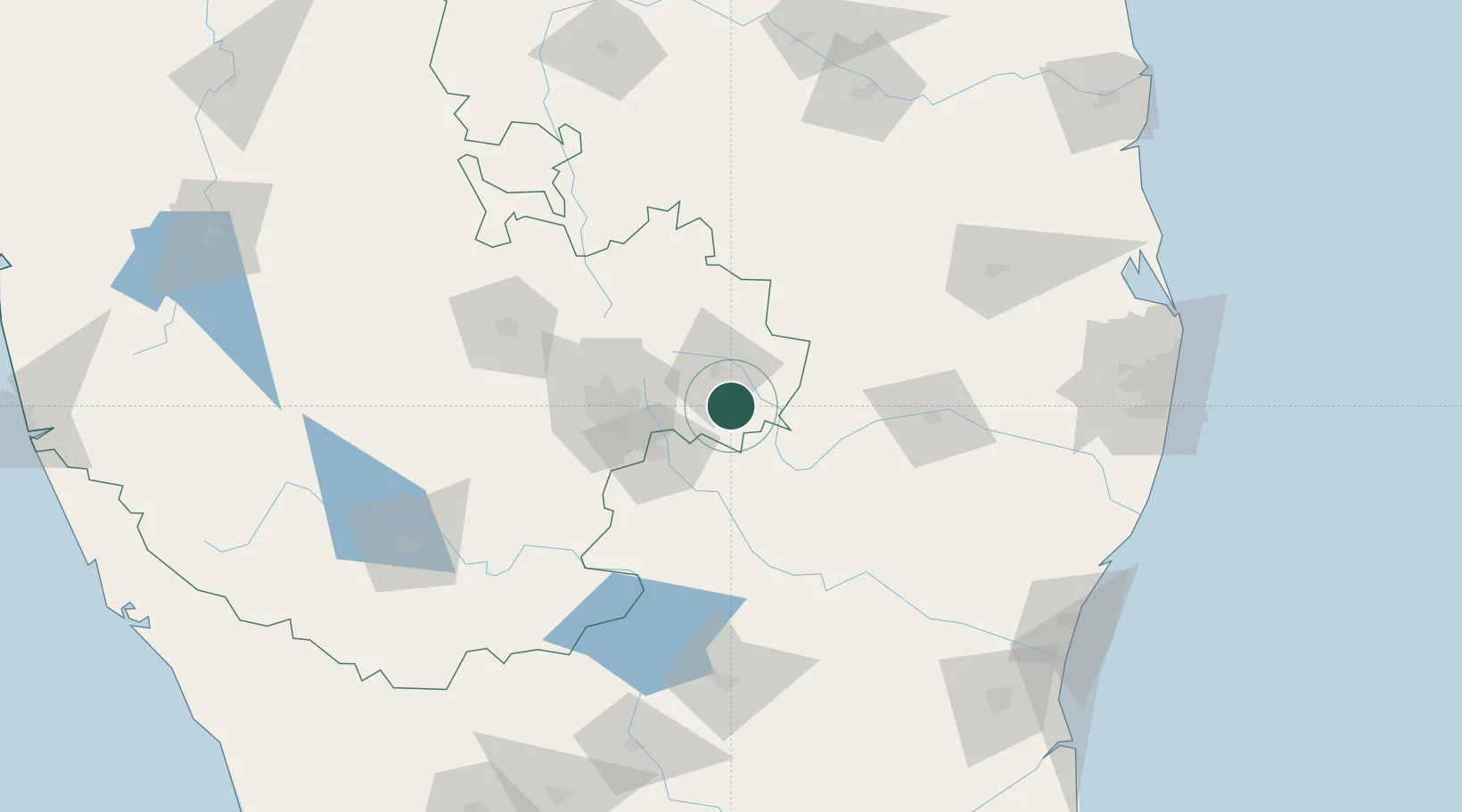
Place type
Populated place
Region
Karnataka
Population
44,849
Time zone
Asia/Kolkata
Elevation
826 m
Location
Nearby Logistics Neighbours
Cities
- 1Bangalore46 km
- 2Itpl Sezii/Whitefield47 km
- 3HOSUR ICD50 km
- 4Deipl Sez/Kurubarapalli50 km
- 5ECTN SEZ/Krishnagiri50 km
Ports
- 1Pondicherry214 km
- 2Cuddalore222 km
- 3Chennai (Madras)230 km
- 4Kamarajar Port236 km
- 5Kattupalli Port254 km
Airports
- 1HAL Airport56 km
- 2Kempegowda International Airport Bengaluru57 km
- 3Jakkur Aerodrome64 km
- 4Salem Airport134 km
- 5Sri Sathya Sai Airport136 km
Trade Zones
- 1International Technology Park Ltd (Itpl)48 km
- 2Divyasree Technopark50 km
- 3Ittina Properties Pvt. Ltd.50 km
- 4Bagmane SEZ53 km
- 5Cessna SEZ53 km
DatabookThe Record of Consolidated Knowledge
India beyond logistics?