Medium airport · India

Bilaspur AirportVEBU
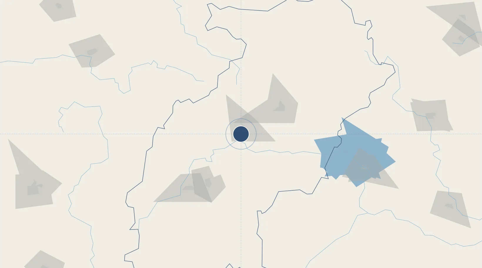
21.9884°, 82.1110°
5,035 ft
Longest runway
1
Runways
899 ft
Elevation

Runway & Layout

Bilaspur Airport runway & taxiway layout
Runway & taxiway layout — OpenStreetMap (ODbL) / OurAirports

Runways · 1

RunwayDimensions SurfaceTrue headingLit
17/35 5,035 × 82ft Asphalt 168°
OurAirports

Airport Specifications

IATA code
PAB
OurAirports
ICAO code
VEBU
OurAirports
Airport class
Medium airport
OurAirports
Scheduled service
Yes
OurAirports
Runway surface
Asphalt
OurAirports
Served city
Bilaspur
OurAirports

Location

Location of VEBU
Natural Earth 10m (public domain) · Chhattisgarh · VEBU · 21.99, 82.11GoogleOSMYandex

Nearby Logistics Neighbours

Airports
  1. 1Swami Vivekananda Airport98 km
  2. 2Maa Mahamaya Airport157 km
  3. 3Gondia Airport195 km
  4. 4Jharsuguda Airport200 km
  5. 5Utkela Airport238 km
Nearest neighbours — logibook spatial index (haversine) over the source coordinates
Cities
  1. 1Raipur90 km
  2. 2Bhilai111 km
  3. 3Concor Icd/Nayaraipur130 km
  4. 4LSPL SEZ/Rajnandgaon147 km
  5. 5Jharsuguda196 km
Nearest neighbours — logibook spatial index (haversine) over the source coordinates
Ports
  1. 1Gopalpur421 km
  2. 2Vishakhapatnam495 km
  3. 3Gangavaram499 km
  4. 4Paradip511 km
  5. 5Dhamra519 km
Nearest neighbours — logibook spatial index (haversine) over the source coordinates
Trade Zones
  1. 1M s. Lanco Solar Private Limited138 km
  2. 2Vedanta Aluminium Limited286 km
  3. 3Mihan Special Economic Zone335 km
  4. 4Saraf Agencies private Limited418 km
  5. 5Adityapur Industrial area development authority426 km
Nearest neighbours — logibook spatial index (haversine) over the source coordinates
DatabookThe Record of Consolidated Knowledge
India beyond logistics?
Browse databook

All Sources

AirportsOurAirports
Public domain
Portsthe NGA World Port Index
Public domain (US gov)
LocationsUN/LOCODE
UN/LOCODE — free
Trade Zonesthe World Bank SEZ database
CC BY 4.0
Trade ZonesOpen Zone Map
CC BY
InfrastructureOpenStreetMap
ODbL 1.0
← India airports