Specialized Zone · India
Bagmane SEZ Active
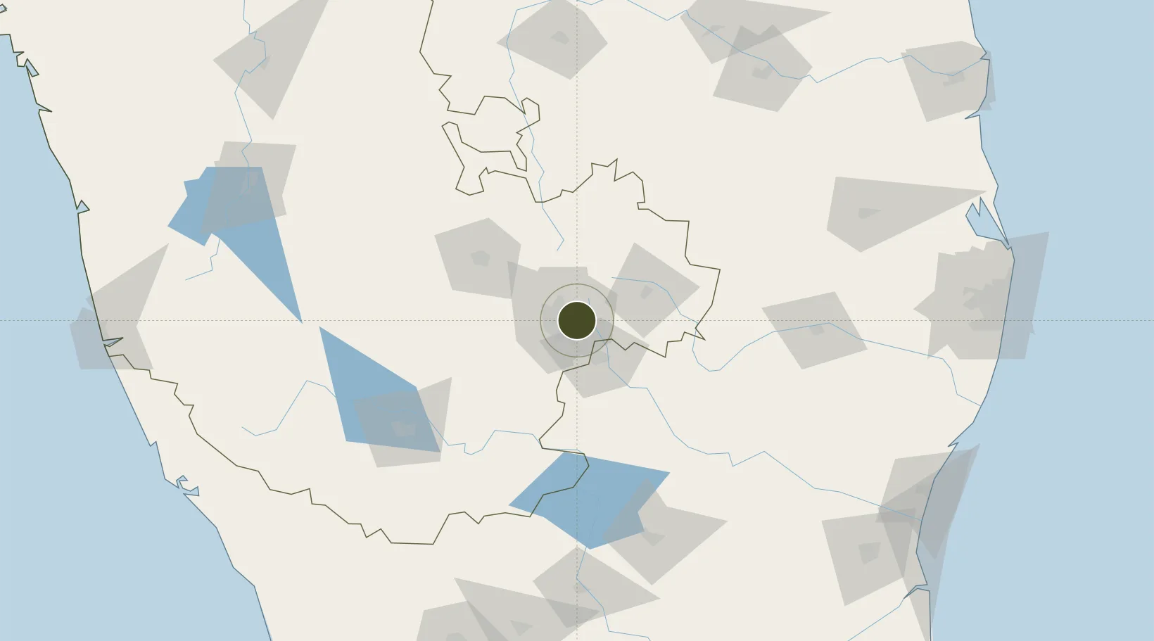
12.9835°, 77.6939°
12 ha
Zone area
260.0 km
Nearest port
4.7 km
Nearest airport
Gateway access
Zone profile
Zone type
Specialized Zone
Specialization
IT
Region
Karnataka
Status
Active
Management
Private
Operator
Bagmane Developers Pvt. Ltd.
Legal framework
Ministry's Letter F.2/220/2006-SEZ
Location
Nearby Logistics Neighbours
Ports
- 1Pondicherry260 km
- 2Cuddalore266 km
- 3Chennai (Madras)283 km
- 4Azhikal (Azhikkal)283 km
- 5Calicut (Kozhikode)285 km
Airports
- 1HAL Airport5 km
- 2Jakkur Aerodrome15 km
- 3Kempegowda International Airport Bengaluru24 km
- 4Sri Sathya Sai Airport130 km
- 5Salem Airport139 km
Cities
- 1Itpl Sezii/Whitefield6 km
- 2Bbrel Sez/Kundalahalli8 km
- 3Bangalore8 km
- 4Kbits-SEZ/Bangalore12 km
- 5GOCL SEZ/Bangalore12 km
DatabookThe Record of Consolidated Knowledge
India beyond logistics?