UN/LOCODE hub · India
INWFT

Itpl Sezii/Whitefield

12.9667°, 77.7500°
1
Transport functions

Transport Functions

Multimodal
UN/LOCODE

Hub Profile

Region
KA
GeoNames

Location

Location of INWFT
Natural Earth 10m (public domain) · KA · INWFT · 12.97, 77.75GoogleOSMYandex

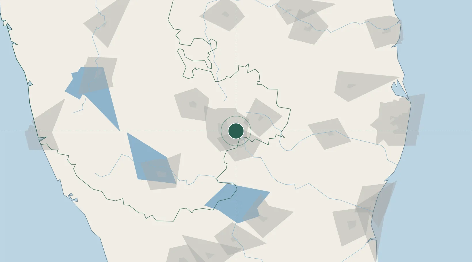
Nearby Logistics Neighbours

Cities
  1. 1Bangalore5 km
  2. 2Bbrel Sez/Kundalahalli12 km
  3. 3Apllp Sez/Bangalore17 km
  4. 4Bd Sez/Bangalore18 km
  5. 5Kbits-SEZ/Bangalore18 km
Nearest neighbours — logibook spatial index (haversine) over the source coordinates
Ports
  1. 1Pondicherry254 km
  2. 2Cuddalore259 km
  3. 3Chennai (Madras)277 km
  4. 4Kamarajar Port283 km
  5. 5Calicut (Kozhikode)288 km
Nearest neighbours — logibook spatial index (haversine) over the source coordinates
Airports
  1. 1HAL Airport9 km
  2. 2Jakkur Aerodrome21 km
  3. 3Kempegowda International Airport Bengaluru26 km
  4. 4Sri Sathya Sai Airport132 km
  5. 5Salem Airport136 km
Nearest neighbours — logibook spatial index (haversine) over the source coordinates
Trade Zones
  1. 1International Technology Park Ltd (Itpl)3 km
  2. 2Divyasree Technopark3 km
  3. 3Ittina Properties Pvt. Ltd.4 km
  4. 4Bagmane SEZ6 km
  5. 5Cessna SEZ7 km
Nearest neighbours — logibook spatial index (haversine) over the source coordinates
DatabookThe Record of Consolidated Knowledge
India beyond logistics?
Browse databook

All Sources

LocationsUN/LOCODE
UN/LOCODE — free
Portsthe NGA World Port Index
Public domain (US gov)
AirportsOurAirports
Public domain
Trade Zonesthe World Bank SEZ database
CC BY 4.0
Trade ZonesOpen Zone Map
CC BY
← India locations