Specialized Zone · India

Ittina Properties Pvt. Ltd. Active
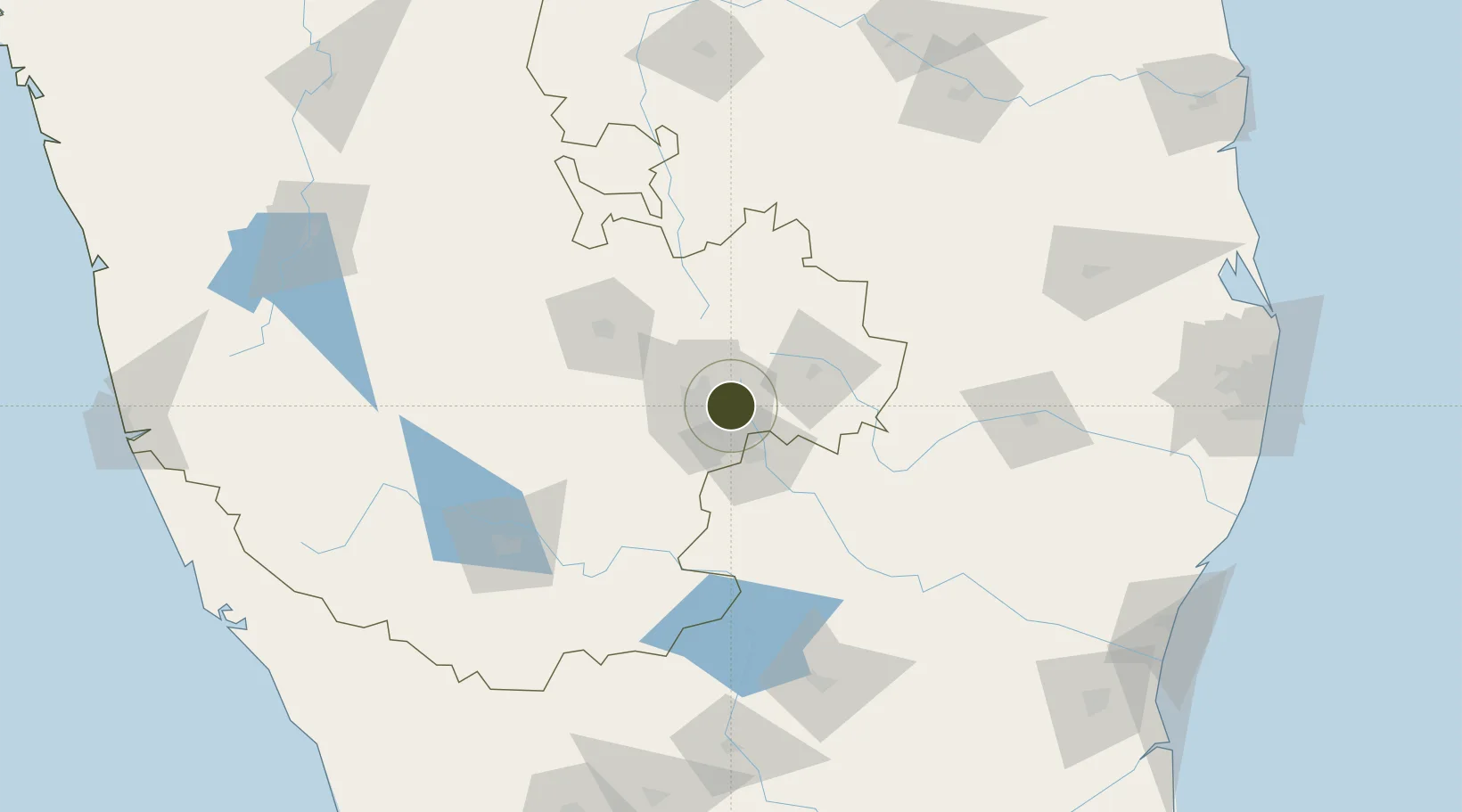
12.9907°, 77.7191°
15 ha
Zone area
257.9 km
Nearest port
7.1 km
Nearest airport

Gateway access

Nearest neighbours — logibook spatial index (haversine) over the source coordinates

Zone profile

Zone type
Specialized Zone
Open Zone Map
Specialization
Manufacturing
Open Zone Map
Region
Karnataka
Open Zone Map
Status
Active
Open Zone Map
Management
Private
Open Zone Map
Operator
Itinna Group, Ittina Properties
Open Zone Map
Legal framework
Proceedings of Gov't of Karnataka: Sutbstate Policy for Special Economic Zones – 2009
Open Zone Map

Location

Location of ozm-2279
Natural Earth 10m (public domain) · Karnataka · ozm-2279 · 12.99, 77.72GoogleOSMYandex

Nearby Logistics Neighbours

Ports
  1. 1Pondicherry258 km
  2. 2Cuddalore264 km
  3. 3Chennai (Madras)280 km
  4. 4Kamarajar Port286 km
  5. 5Azhikal (Azhikkal)286 km
Nearest neighbours — logibook spatial index (haversine) over the source coordinates
Airports
  1. 1HAL Airport7 km
  2. 2Jakkur Aerodrome16 km
  3. 3Kempegowda International Airport Bengaluru23 km
  4. 4Sri Sathya Sai Airport129 km
  5. 5Salem Airport139 km
Nearest neighbours — logibook spatial index (haversine) over the source coordinates
Cities
  1. 1Itpl Sezii/Whitefield4 km
  2. 2Bangalore5 km
  3. 3Bbrel Sez/Kundalahalli8 km
  4. 4Kbits-SEZ/Bangalore15 km
  5. 5GOCL SEZ/Bangalore15 km
Nearest neighbours — logibook spatial index (haversine) over the source coordinates
Trade Zones
  1. 1International Technology Park Ltd (Itpl)2 km
  2. 2Divyasree Technopark2 km
  3. 3Bagmane SEZ3 km
  4. 4Cessna SEZ7 km
  5. 5EMBASSY TECHVILLAGE (Formerly Vrindavan Techvillage)7 km
Nearest neighbours — logibook spatial index (haversine) over the source coordinates
DatabookThe Record of Consolidated Knowledge
India beyond logistics?
Browse databook

All Sources

Trade ZonesOpen Zone Map
CC BY
Portsthe NGA World Port Index
Public domain (US gov)
AirportsOurAirports
Public domain
LocationsUN/LOCODE
UN/LOCODE — free
← India trade zones