UN/LOCODE hub · India
INBLR

Bangalore

13.0120°, 77.7570°
4
Transport functions

Transport Functions

Rail
Road
Airport
Multimodal
UN/LOCODE

Hub Profile

Region
KA
GeoNames
Logistics facilities
9
UN/LOCODE

Location

Location of INBLR
Natural Earth 10m (public domain) · KA · INBLR · 13.01, 77.76GoogleOSMYandex

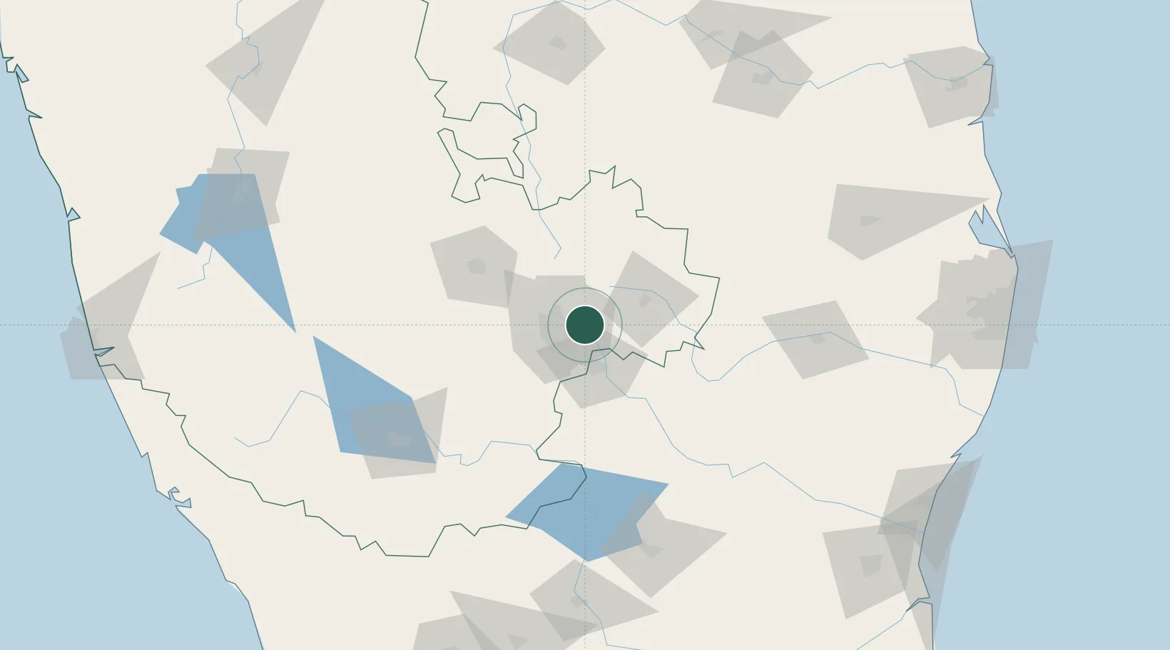
Nearby Logistics Neighbours

Cities
  1. 1Itpl Sezii/Whitefield5 km
  2. 2Bbrel Sez/Kundalahalli9 km
  3. 3Modern Asset Sezi/Yelahanka Hobli18 km
  4. 4Kbits-SEZ/Bangalore19 km
  5. 5GOCL SEZ/Bangalore19 km
Nearest neighbours — logibook spatial index (haversine) over the source coordinates
Ports
  1. 1Pondicherry255 km
  2. 2Cuddalore262 km
  3. 3Chennai (Madras)276 km
  4. 4Kamarajar Port281 km
  5. 5Azhikal (Azhikkal)291 km
Nearest neighbours — logibook spatial index (haversine) over the source coordinates
Airports
  1. 1HAL Airport12 km
  2. 2Jakkur Aerodrome19 km
  3. 3Kempegowda International Airport Bengaluru21 km
  4. 4Sri Sathya Sai Airport127 km
  5. 5Salem Airport141 km
Nearest neighbours — logibook spatial index (haversine) over the source coordinates
Trade Zones
  1. 1International Technology Park Ltd (Itpl)3 km
  2. 2Ittina Properties Pvt. Ltd.5 km
  3. 3Divyasree Technopark6 km
  4. 4Bagmane SEZ8 km
  5. 5Cessna SEZ11 km
Nearest neighbours — logibook spatial index (haversine) over the source coordinates
DatabookThe Record of Consolidated Knowledge
India beyond logistics?
Browse databook

All Sources

LocationsUN/LOCODE
UN/LOCODE — free
Portsthe NGA World Port Index
Public domain (US gov)
AirportsOurAirports
Public domain
Trade Zonesthe World Bank SEZ database
CC BY 4.0
Trade ZonesOpen Zone Map
CC BY
← India locations