Transport Functions
Road
Multimodal
Hub Profile
Place type
Populated place
Region
Haryana
Time zone
Asia/Kolkata
Elevation
202 m
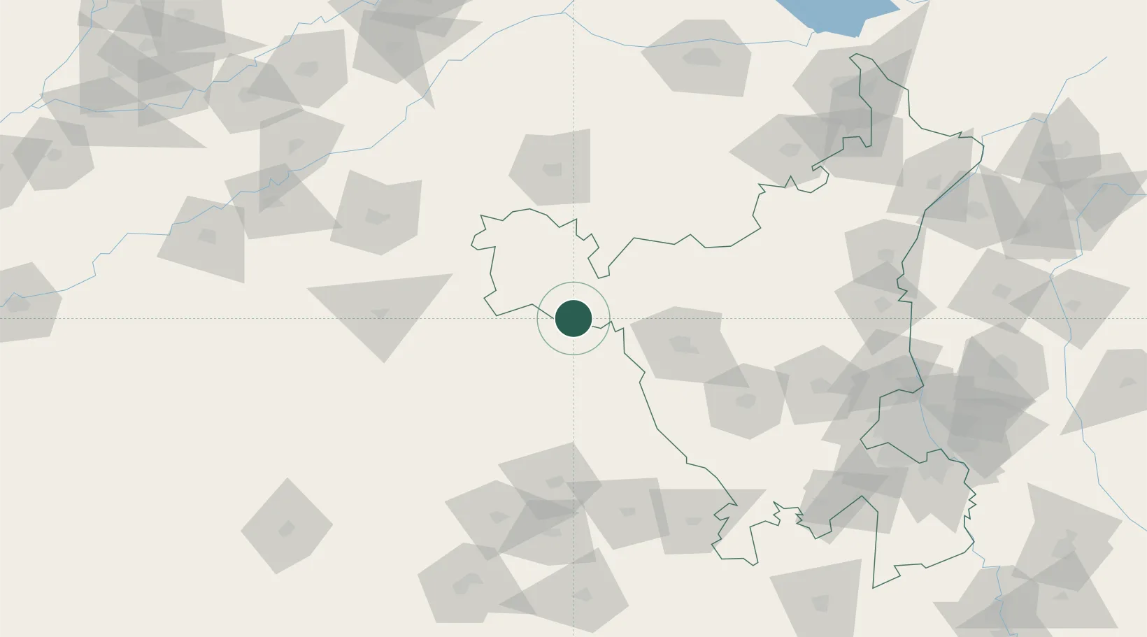
Location
Nearby Logistics Neighbours
Airports
- 1Sirsa Air Force Station28 km
- 2Maharaja Agrasen International Airport66 km
- 3Bhatinda Air Force Station111 km
- 4Halwara International Airport168 km
- 5Ludhiana Airport190 km
Trade Zones
DatabookThe Record of Consolidated Knowledge
India beyond logistics?