Transport Functions
Multimodal
Hub Profile
Place type
Populated place
Region
Punjab
Population
82,956
Time zone
Asia/Kolkata
Elevation
223 m
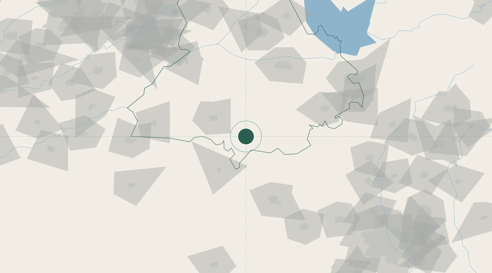
Location
Nearby Logistics Neighbours
Cities
- 1Sunam43 km
- 2Barnala47 km
- 3Hazira80 km
- 4Kakrala81 km
- 5Adani Icd/Kila Raipur96 km
Airports
Trade Zones
DatabookThe Record of Consolidated Knowledge
India beyond logistics?