Transport Functions
Multimodal
Hub Profile
Place type
Populated place
Region
Punjab
Population
69,069
Time zone
Asia/Kolkata
Elevation
245 m
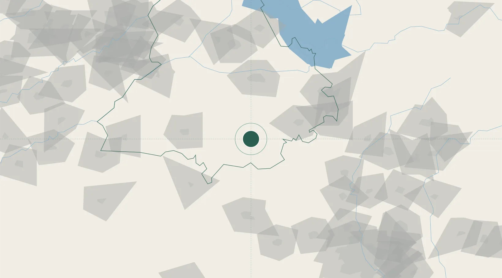
Location
Nearby Logistics Neighbours
Cities
- 1Barnala37 km
- 2Kakrala39 km
- 3Mansa43 km
- 4Patiala59 km
- 5Adani Icd/Kila Raipur69 km
Airports
- 1Halwara International Airport70 km
- 2Ludhiana Airport82 km
- 3Sirsa Air Force Station100 km
- 4Ambala Air Force Station101 km
- 5Bhatinda Air Force Station102 km
DatabookThe Record of Consolidated Knowledge
India beyond logistics?