Specialized Zone · India

DLF Cyber City, Gurgaon Active
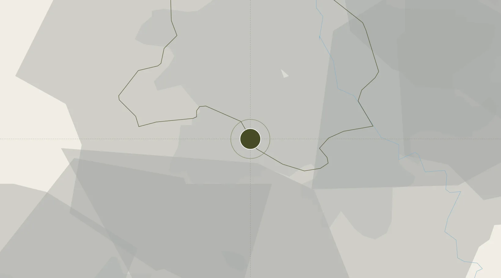
28.4951°, 77.0892°
10 ha
Zone area
883.7 km
Nearest port
6.8 km
Nearest airport

Gateway access

Nearest neighbours — logibook spatial index (haversine) over the source coordinates

Zone profile

Zone type
Specialized Zone
Open Zone Map
Specialization
IT
Open Zone Map
Region
Delhi
Open Zone Map
Status
Active
Open Zone Map
Management
Public-Private Partnership
Open Zone Map
Operator
DLF Cyber City Developers Ltd.
Open Zone Map
Legal framework
LoA 23(11)/VSEZ/2007 dated 19/06/2007
Open Zone Map

Location

Location of ozm-2201
Natural Earth 10m (public domain) · Delhi · ozm-2201 · 28.50, 77.09GoogleOSMYandex

Nearby Logistics Neighbours

Ports
  1. 1Dahej884 km
  2. 2Bhavnagar893 km
  3. 3Navlakhi906 km
  4. 4Kandla918 km
  5. 5Magdalla927 km
Nearest neighbours — logibook spatial index (haversine) over the source coordinates
Airports
  1. 1Indira Gandhi International Airport7 km
  2. 2Safdarjung Airport15 km
  3. 3Hindon Airport / Hindon Air Force Station35 km
  4. 4Noida International Airport62 km
  5. 5Aligarh Airport125 km
Nearest neighbours — logibook spatial index (haversine) over the source coordinates
Cities
  1. 1Dashrath Puri12 km
  2. 2Gopalpur15 km
  3. 3New Delhi16 km
  4. 4Tughlakabad17 km
  5. 5Gurgaon18 km
Nearest neighbours — logibook spatial index (haversine) over the source coordinates
Trade Zones
  1. 1Lanco Solar Pvt.Ltd1 km
  2. 2Gurgaon Infospace Ltd, Gurgaon2 km
  3. 3M S. Bharatiya International SEZ Ltd5 km
  4. 4Goldsouk International Specialized Zone (Gems) & Jewellery SEZ Pvt. Ltd.5 km
  5. 5ASF Insignia SEZ9 km
Nearest neighbours — logibook spatial index (haversine) over the source coordinates
DatabookThe Record of Consolidated Knowledge
India beyond logistics?
Browse databook

All Sources

Trade ZonesOpen Zone Map
CC BY
Portsthe NGA World Port Index
Public domain (US gov)
AirportsOurAirports
Public domain
LocationsUN/LOCODE
UN/LOCODE — free
← India trade zones