Transport Functions
Rail
Road
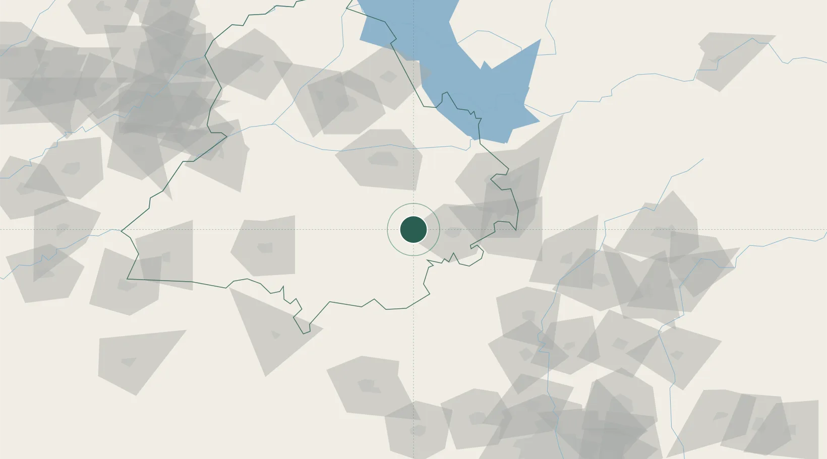
Hub Profile
Place type
Populated place
Region
Punjab
Time zone
Asia/Kolkata
Elevation
249 m
Location
Nearby Logistics Neighbours
Cities
- 1Patiala26 km
- 2Sunam39 km
- 3Adani Icd/Kila Raipur49 km
- 4GRFL ICD/Sahnwewal52 km
- 5Chawapayal ICD/Samrala53 km
Airports
DatabookThe Record of Consolidated Knowledge
India beyond logistics?