Specialized Zone · India

M s. Orient Craft Infrastructure Limited Active
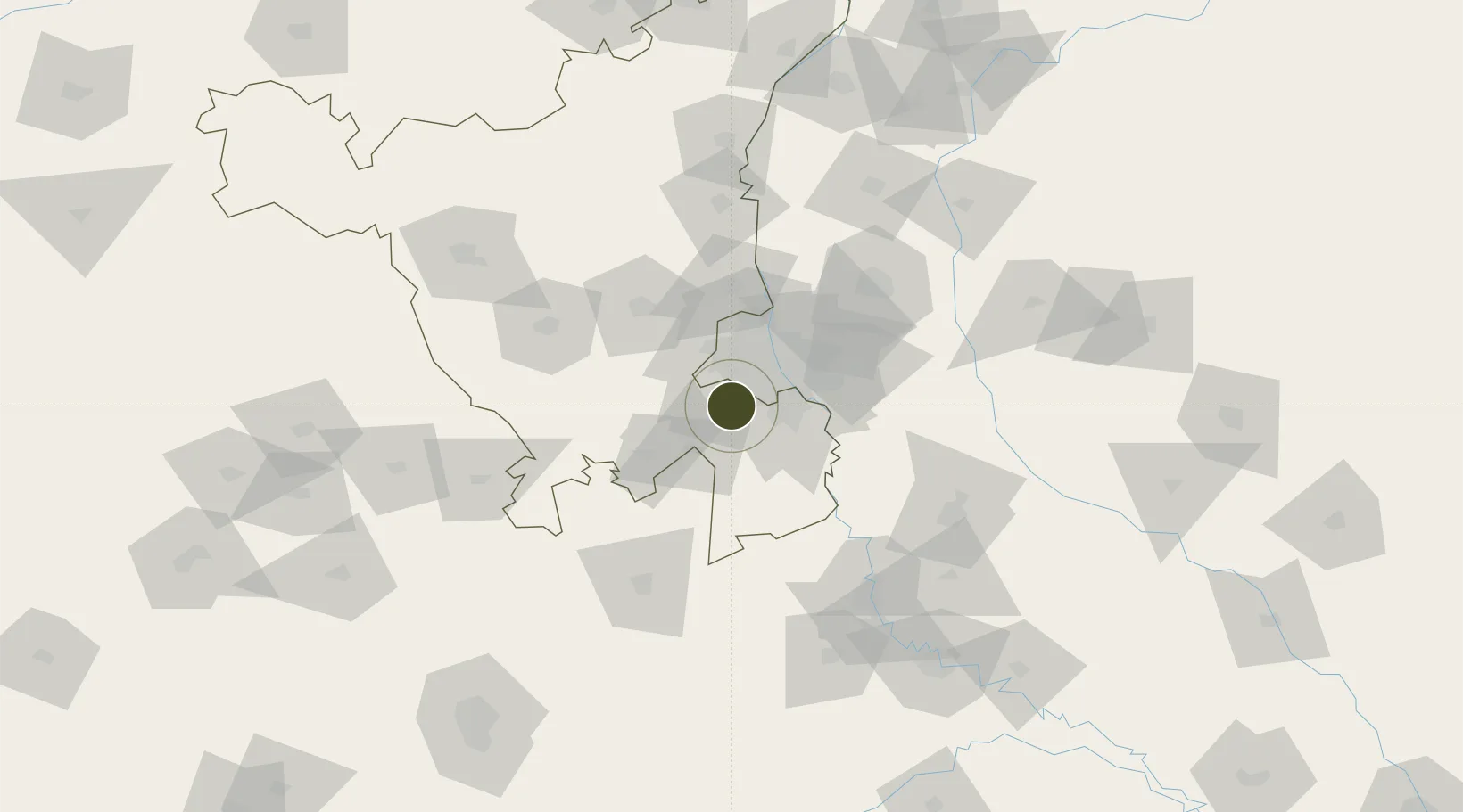
28.4293°, 77.0202°
27 ha
Zone area
873.9 km
Nearest port
15.8 km
Nearest airport

Gateway access

Nearest neighbours — logibook spatial index (haversine) over the source coordinates

Zone profile

Zone type
Specialized Zone
Open Zone Map
Specialization
Textiles
Open Zone Map
Region
Haryana
Open Zone Map
Status
Active
Open Zone Map
Management
Private
Open Zone Map
Operator
Orient Craft Limited
Open Zone Map
Legal framework
Haryana Special Economic Zone Act, 2005
Open Zone Map

Location

Location of ozm-2324
Natural Earth 10m (public domain) · Haryana · ozm-2324 · 28.43, 77.02GoogleOSMYandex

Nearby Logistics Neighbours

Ports
  1. 1Dahej874 km
  2. 2Bhavnagar884 km
  3. 3Navlakhi896 km
  4. 4Kandla908 km
  5. 5Magdalla917 km
Nearest neighbours — logibook spatial index (haversine) over the source coordinates
Airports
  1. 1Indira Gandhi International Airport16 km
  2. 2Safdarjung Airport25 km
  3. 3Hindon Airport / Hindon Air Force Station45 km
  4. 4Noida International Airport64 km
  5. 5Aligarh Airport127 km
Nearest neighbours — logibook spatial index (haversine) over the source coordinates
Cities
  1. 1Gopalpur7 km
  2. 2Gurgaon10 km
  3. 3Patli10 km
  4. 4Garhi Harsaru11 km
  5. 5GPRPL SEZ/Gurgaon17 km
Nearest neighbours — logibook spatial index (haversine) over the source coordinates
Trade Zones
  1. 1M S. Bharatiya International SEZ Ltd6 km
  2. 2Goldsouk International Specialized Zone (Gems) & Jewellery SEZ Pvt. Ltd.6 km
  3. 3G.P.Realtors Private Limited10 km
  4. 4DLF Cyber City, Gurgaon10 km
  5. 5Lanco Solar Pvt.Ltd10 km
Nearest neighbours — logibook spatial index (haversine) over the source coordinates
DatabookThe Record of Consolidated Knowledge
India beyond logistics?
Browse databook

All Sources

Trade ZonesOpen Zone Map
CC BY
Portsthe NGA World Port Index
Public domain (US gov)
AirportsOurAirports
Public domain
LocationsUN/LOCODE
UN/LOCODE — free
← India trade zones