Medium airport · India

Ludhiana AirportVILD
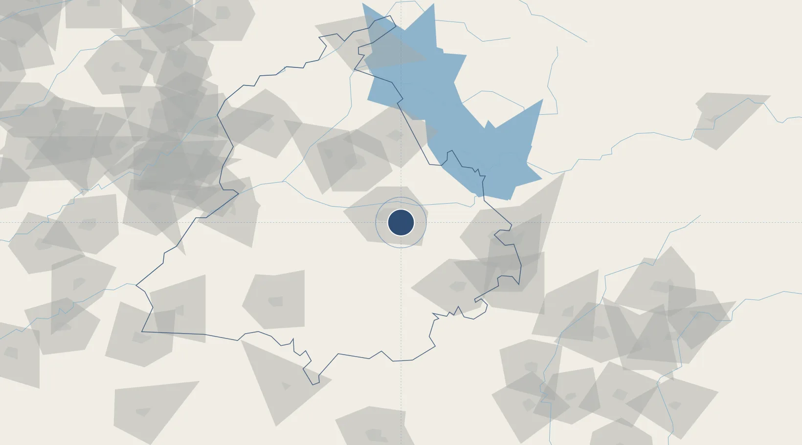
30.8547°, 75.9526°
4,800 ft
Longest runway
1
Runways
834 ft
Elevation

Runway & Layout

Ludhiana Airport runway & taxiway layout
Runway & taxiway layout — OpenStreetMap (ODbL) / OurAirports

Radio Frequencies

TWR
122.3 MHz
OurAirports

Navaids

LD NDB Ludhiana 380 kHz
OurAirports

Runways · 1

RunwayDimensions SurfaceTrue headingLit
12/30 4,800 × 98ft Asphalt 119°
OurAirports

Airport Specifications

IATA code
LUH
OurAirports
ICAO code
VILD
OurAirports
Airport class
Medium airport
OurAirports
Scheduled service
No
OurAirports
Runway surface
Asphalt
OurAirports

Location

Location of VILD
Natural Earth 10m (public domain) · Punjab · VILD · 30.85, 75.95GoogleOSMYandex

Nearby Logistics Neighbours

Airports
  1. 1Halwara International Airport33 km
  2. 2Adampur Airport67 km
  3. 3Shaheed Bhagat Singh International Airport82 km
  4. 4Ambala Air Force Station99 km
  5. 5Bhatinda Air Force Station132 km
Nearest neighbours — logibook spatial index (haversine) over the source coordinates
Cities
  1. 1Ludhiana1 km
  2. 2Kanech ICD/Sahnewal3 km
  3. 3GRFL ICD/Sahnwewal4 km
  4. 4Sahnewal4 km
  5. 5PSWC ICD/Dhandari Kalan8 km
Nearest neighbours — logibook spatial index (haversine) over the source coordinates
Ports
  1. 1Navlakhi1034 km
  2. 2Kandla1039 km
  3. 3Dahej1073 km
  4. 4Bhavnagar1076 km
  5. 5Muhamamad Bin Qasim1083 km
Nearest neighbours — logibook spatial index (haversine) over the source coordinates
Trade Zones
  1. 1Quarkcity India Pvt. Ltd.73 km
  2. 2Rajeev Gandhi Technology Park, Phase-2, Chandigarh84 km
  3. 3Rajiv Gandhi Technology Park, Phase-1 Chandigarh84 km
  4. 4Rachna Industrial Park194 km
  5. 5Gujranwala Export Processing Zone233 km
Nearest neighbours — logibook spatial index (haversine) over the source coordinates
DatabookThe Record of Consolidated Knowledge
India beyond logistics?
Browse databook

All Sources

AirportsOurAirports
Public domain
Portsthe NGA World Port Index
Public domain (US gov)
LocationsUN/LOCODE
UN/LOCODE — free
Trade Zonesthe World Bank SEZ database
CC BY 4.0
Trade ZonesOpen Zone Map
CC BY
InfrastructureOpenStreetMap
ODbL 1.0
← India airports