Large airport · India

Halwara International AirportVIHX
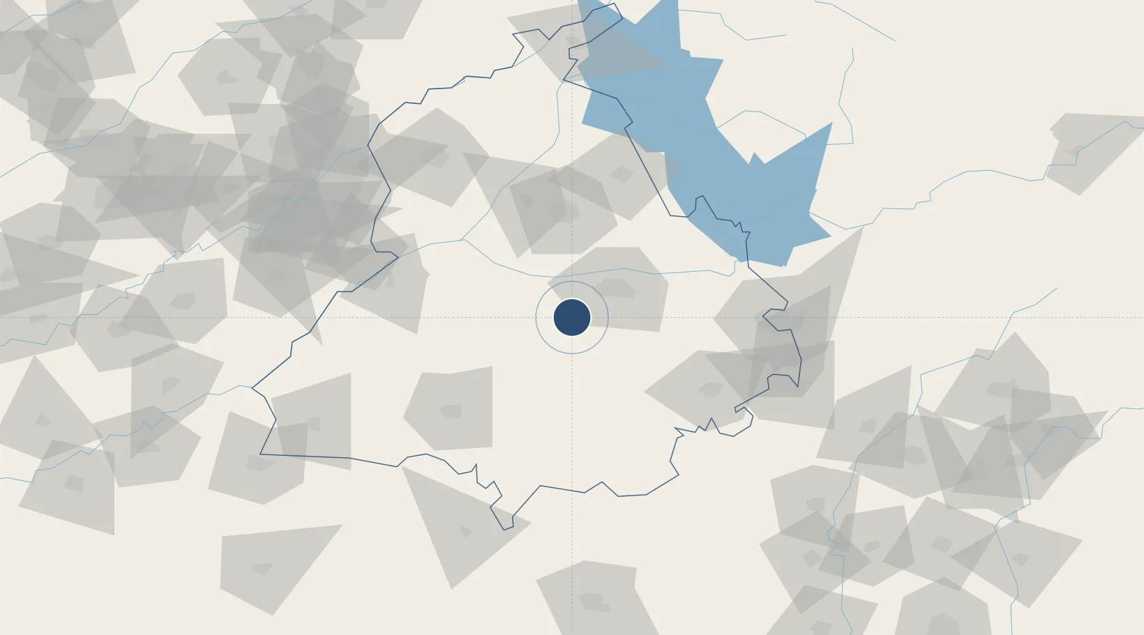
30.7485°, 75.6298°
10,007 ft
Longest runway
1
Runways
790 ft
Elevation

Runway & Layout

Halwara International Airport runway & taxiway layout
Runway & taxiway layout — OpenStreetMap (ODbL) / OurAirports

Runways · 1

RunwayDimensions SurfaceTrue headingLit
13/31 10,007 × 148ft Asphalt / concrete 131°
OurAirports

Airport Specifications

IATA code
HWR
OurAirports
ICAO code
VIHX
OurAirports
Airport class
Large airport
OurAirports
Scheduled service
Yes
OurAirports
Runway surface
Asphalt / concrete
OurAirports
Served city
Halwara
OurAirports

Location

Location of VIHX
Natural Earth 10m (public domain) · Punjab · VIHX · 30.75, 75.63GoogleOSMYandex

Nearby Logistics Neighbours

Airports
  1. 1Ludhiana Airport33 km
  2. 2Adampur Airport77 km
  3. 3Bhatinda Air Force Station99 km
  4. 4Shaheed Bhagat Singh International Airport111 km
  5. 5Ambala Air Force Station121 km
Nearest neighbours — logibook spatial index (haversine) over the source coordinates
Cities
  1. 1Adani Icd/Kila Raipur21 km
  2. 2PSWC ICD/Dhandari Kalan25 km
  3. 3GRFL ICD/Sahnwewal32 km
  4. 4Ludhiana32 km
  5. 5Sahnewal35 km
Nearest neighbours — logibook spatial index (haversine) over the source coordinates
Ports
  1. 1Navlakhi1007 km
  2. 2Kandla1012 km
  3. 3Muhamamad Bin Qasim1051 km
  4. 4Dahej1052 km
  5. 5Bhavnagar1054 km
Nearest neighbours — logibook spatial index (haversine) over the source coordinates
Trade Zones
  1. 1Quarkcity India Pvt. Ltd.102 km
  2. 2Rajeev Gandhi Technology Park, Phase-2, Chandigarh114 km
  3. 3Rajiv Gandhi Technology Park, Phase-1 Chandigarh114 km
  4. 4Rachna Industrial Park173 km
  5. 5Gujranwala Export Processing Zone219 km
Nearest neighbours — logibook spatial index (haversine) over the source coordinates
DatabookThe Record of Consolidated Knowledge
India beyond logistics?
Browse databook

All Sources

AirportsOurAirports
Public domain
Portsthe NGA World Port Index
Public domain (US gov)
LocationsUN/LOCODE
UN/LOCODE — free
Trade Zonesthe World Bank SEZ database
CC BY 4.0
Trade ZonesOpen Zone Map
CC BY
InfrastructureOpenStreetMap
ODbL 1.0
← India airports