Transport Functions
Rail
Road
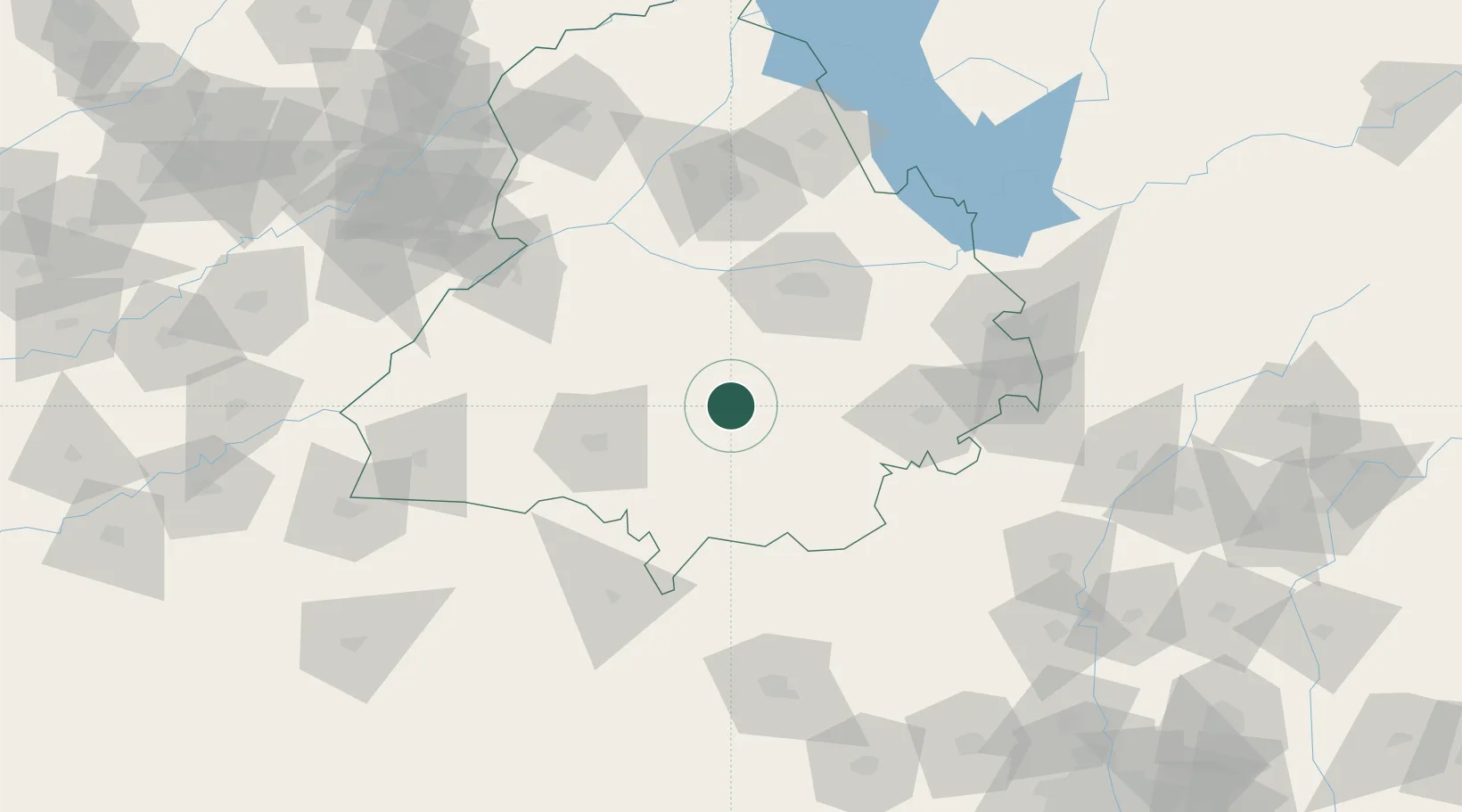
Hub Profile
Place type
Populated place
Region
Punjab
Population
116,449
Time zone
Asia/Kolkata
Elevation
237 m
Location
Nearby Logistics Neighbours
Cities
- 1Sunam37 km
- 2Mansa47 km
- 3Adani Icd/Kila Raipur50 km
- 4Kakrala53 km
- 5PSWC ICD/Dhandari Kalan60 km
Ports
- 1Navlakhi969 km
- 2Kandla974 km
- 3Dahej1011 km
- 4Bhavnagar1014 km
- 5Muhamamad Bin Qasim1021 km
Airports
- 1Halwara International Airport41 km
- 2Ludhiana Airport65 km
- 3Bhatinda Air Force Station77 km
- 4Sirsa Air Force Station105 km
- 5Adampur Airport119 km
Trade Zones
DatabookThe Record of Consolidated Knowledge
India beyond logistics?