Specialized Zone · India

Anant Raj Industries Ltd. , IT Park Manesar Under Development
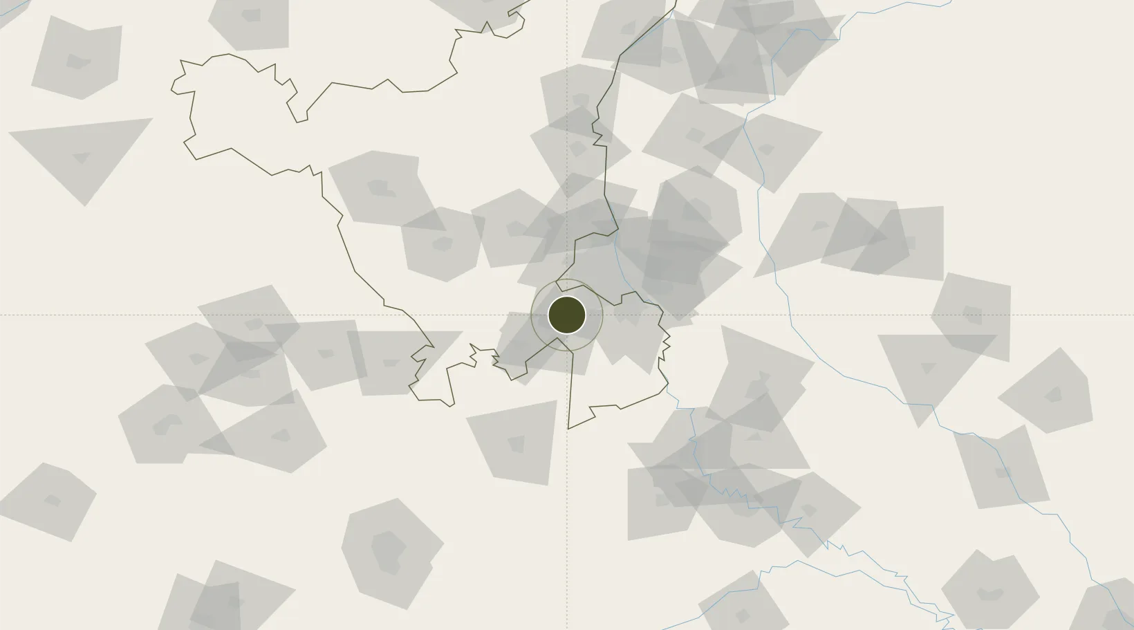
28.3743°, 76.9028°
10 ha
Zone area
862.7 km
Nearest port
27.6 km
Nearest airport

Gateway access

Nearest neighbours — logibook spatial index (haversine) over the source coordinates

Zone profile

Zone type
Specialized Zone
Open Zone Map
Specialization
IT
Open Zone Map
Region
Haryana
Open Zone Map
Status
Under Development
Open Zone Map
Management
Private
Open Zone Map
Operator
Anant Raj Group
Open Zone Map
Legal framework
Haryana Special Economic Zone Act, 2005
Open Zone Map

Location

Location of ozm-2194
Natural Earth 10m (public domain) · Haryana · ozm-2194 · 28.37, 76.90GoogleOSMYandex

Nearby Logistics Neighbours

Ports
  1. 1Dahej863 km
  2. 2Bhavnagar872 km
  3. 3Navlakhi884 km
  4. 4Kandla895 km
  5. 5Magdalla906 km
Nearest neighbours — logibook spatial index (haversine) over the source coordinates
Airports
  1. 1Indira Gandhi International Airport28 km
  2. 2Safdarjung Airport38 km
  3. 3Hindon Airport / Hindon Air Force Station58 km
  4. 4Noida International Airport73 km
  5. 5Aligarh Airport135 km
Nearest neighbours — logibook spatial index (haversine) over the source coordinates
Cities
  1. 1Garhi Harsaru5 km
  2. 2Patli6 km
  3. 3Gurgaon7 km
  4. 4Gopalpur10 km
  5. 5GPRPL SEZ/Gurgaon25 km
Nearest neighbours — logibook spatial index (haversine) over the source coordinates
DatabookThe Record of Consolidated Knowledge
India beyond logistics?
Browse databook

All Sources

Trade ZonesOpen Zone Map
CC BY
Portsthe NGA World Port Index
Public domain (US gov)
AirportsOurAirports
Public domain
LocationsUN/LOCODE
UN/LOCODE — free
← India trade zones