Medium airport · India

Sirsa Air Force StationVISA
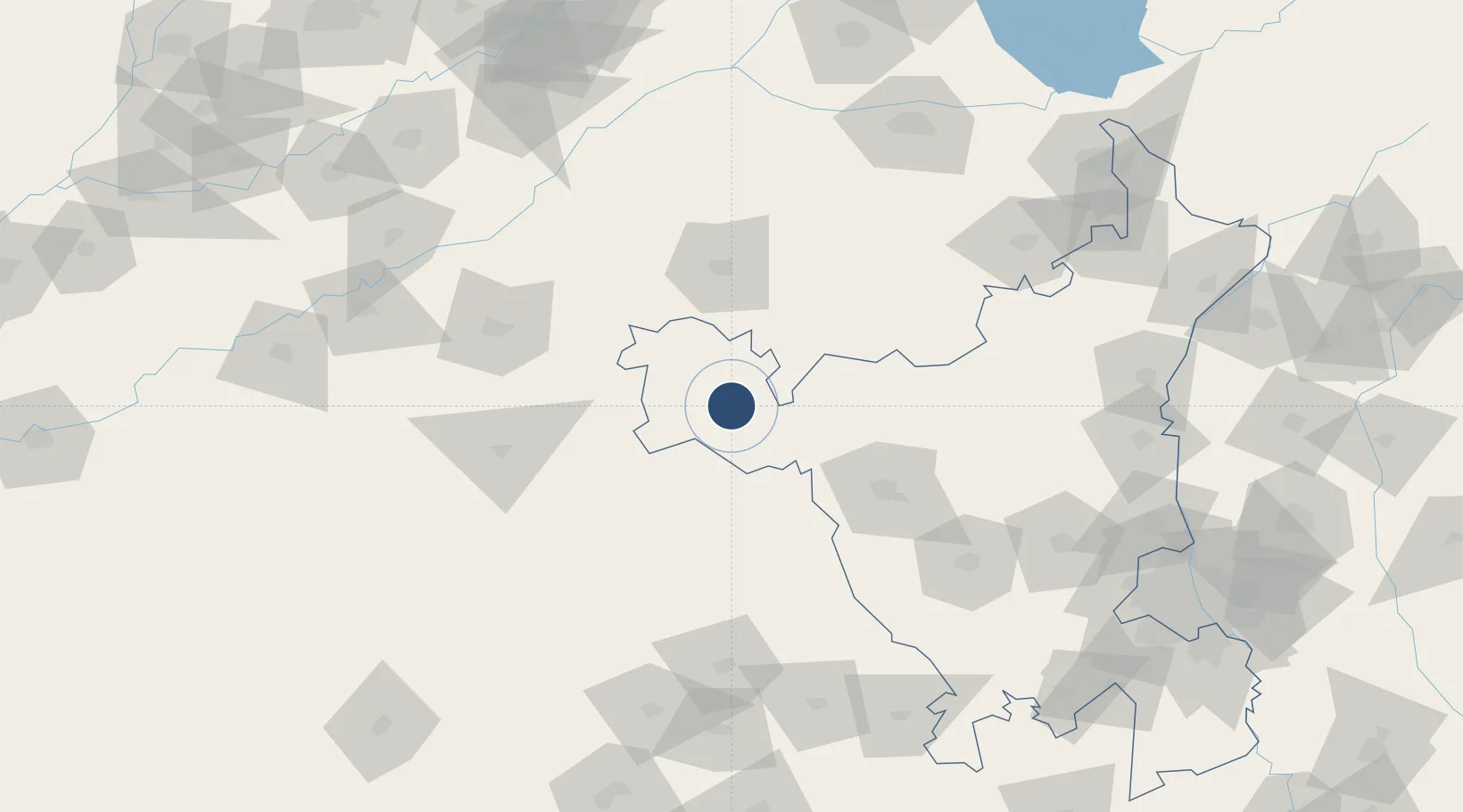
29.5606°, 75.0061°
8,987 ft
Longest runway
1
Runways
650 ft
Elevation

Runway & Layout

Sirsa Air Force Station runway & taxiway layout
Runway & taxiway layout — OpenStreetMap (ODbL) / OurAirports

Runways · 1

RunwayDimensions SurfaceTrue headingLit
05/23 8,987 × 140ft Asphalt 053°
OurAirports

Airport Specifications

ICAO code
VISA
OurAirports
Airport class
Medium airport
OurAirports
Scheduled service
No
OurAirports
Runway surface
Asphalt
OurAirports

Location

Location of VISA
Natural Earth 10m (public domain) · Haryana · VISA · 29.56, 75.01GoogleOSMYandex

Nearby Logistics Neighbours

Airports
  1. 1Bhatinda Air Force Station83 km
  2. 2Maharaja Agrasen International Airport83 km
  3. 3Halwara International Airport145 km
  4. 4Ludhiana Airport170 km
  5. 5Ambala Air Force Station196 km
Nearest neighbours — logibook spatial index (haversine) over the source coordinates
Cities
  1. 1Hazira28 km
  2. 2Mansa60 km
  3. 3Sunam100 km
  4. 4Barnala105 km
  5. 5Kakrala138 km
Nearest neighbours — logibook spatial index (haversine) over the source coordinates
Ports
  1. 1Navlakhi863 km
  2. 2Kandla869 km
  3. 3Dahej908 km
  4. 4Bhavnagar910 km
  5. 5Bedi921 km
Nearest neighbours — logibook spatial index (haversine) over the source coordinates
Trade Zones
  1. 1Quarkcity India Pvt. Ltd.206 km
  2. 2Rajeev Gandhi Technology Park, Phase-2, Chandigarh218 km
  3. 3Rajiv Gandhi Technology Park, Phase-1 Chandigarh218 km
  4. 4Anant Raj Industries Ltd. , IT Park Manesar227 km
  5. 5Gurgaon Infospace Ltd, Gurgaon232 km
Nearest neighbours — logibook spatial index (haversine) over the source coordinates
DatabookThe Record of Consolidated Knowledge
India beyond logistics?
Browse databook

All Sources

AirportsOurAirports
Public domain
Portsthe NGA World Port Index
Public domain (US gov)
LocationsUN/LOCODE
UN/LOCODE — free
Trade Zonesthe World Bank SEZ database
CC BY 4.0
Trade ZonesOpen Zone Map
CC BY
InfrastructureOpenStreetMap
ODbL 1.0
← India airports