Transport Functions
Multimodal
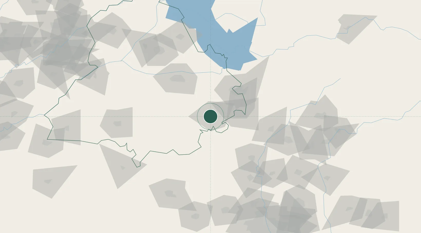
Hub Profile
Place type
Populated place
Region
Punjab
Population
446,246
Time zone
Asia/Kolkata
Elevation
258 m
Location
Nearby Logistics Neighbours
Cities
- 1Kakrala26 km
- 2Lalru45 km
- 3Dappar46 km
- 4Chawapayal ICD/Samrala58 km
- 5Sunam59 km
Airports
DatabookThe Record of Consolidated Knowledge
India beyond logistics?