Specialized Zone · India

M S. Bharatiya International SEZ Ltd Active
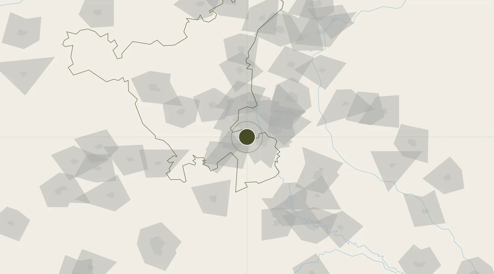
28.4537°, 77.0717°
101 ha
Zone area
878.9 km
Nearest port
11.6 km
Nearest airport

Gateway access

Nearest neighbours — logibook spatial index (haversine) over the source coordinates

Zone profile

Zone type
Specialized Zone
Open Zone Map
Specialization
Textiles
Open Zone Map
Region
Haryana
Open Zone Map
Status
Active
Open Zone Map
Management
Public
Open Zone Map
Operator
Bhartiya International SEZ Ltd.
Open Zone Map
Legal framework
LoA No.26(D)/65/2011-SSSEZ(VSEZ) dated: 06.05.2011
Open Zone Map

Location

Location of ozm-2326
Natural Earth 10m (public domain) · Haryana · ozm-2326 · 28.45, 77.07GoogleOSMYandex

Nearby Logistics Neighbours

Ports
  1. 1Dahej879 km
  2. 2Bhavnagar889 km
  3. 3Navlakhi902 km
  4. 4Kandla913 km
  5. 5Magdalla922 km
Nearest neighbours — logibook spatial index (haversine) over the source coordinates
Airports
  1. 1Indira Gandhi International Airport12 km
  2. 2Safdarjung Airport20 km
  3. 3Hindon Airport / Hindon Air Force Station40 km
  4. 4Noida International Airport61 km
  5. 5Aligarh Airport124 km
Nearest neighbours — logibook spatial index (haversine) over the source coordinates
Cities
  1. 1Gopalpur12 km
  2. 2Gurgaon15 km
  3. 3GPRPL SEZ/Gurgaon15 km
  4. 4Patli16 km
  5. 5Garhi Harsaru16 km
Nearest neighbours — logibook spatial index (haversine) over the source coordinates
DatabookThe Record of Consolidated Knowledge
India beyond logistics?
Browse databook

All Sources

Trade ZonesOpen Zone Map
CC BY
Portsthe NGA World Port Index
Public domain (US gov)
AirportsOurAirports
Public domain
LocationsUN/LOCODE
UN/LOCODE — free
← India trade zones