Transport Functions
Rail
Road
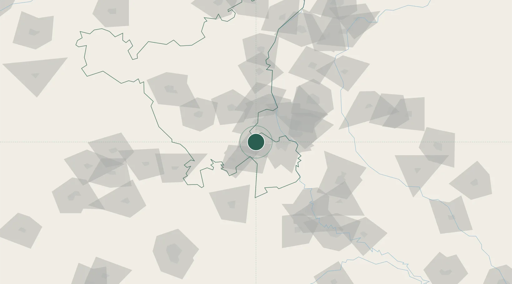
Hub Profile
Place type
Populated place
Region
Uttar Pradesh
Time zone
Asia/Kolkata
Elevation
190 m
Logistics facilities
2
Location
Nearby Logistics Neighbours
Cities
- 1Patli1 km
- 2Garhi Harsaru2 km
- 3Gopalpur3 km
- 4Dashrath Puri24 km
- 5GPRPL SEZ/Gurgaon25 km
Airports
DatabookThe Record of Consolidated Knowledge
India beyond logistics?