Export Processing Zone · Bangladesh

Ishwardi Export Processing Zone Active
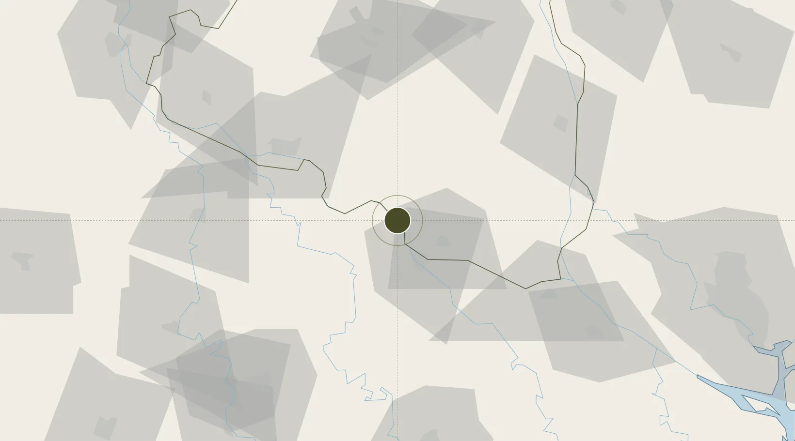
24.0916°, 89.0378°
125 ha
Zone area
185.9 km
Nearest port
6.9 km
Nearest airport

Gateway access

Nearest neighbours — logibook spatial index (haversine) over the source coordinates

Zone profile

Zone type
Export Processing Zone
the World Bank SEZ database
Region
Rajshahi
the World Bank SEZ database
Status
Active
the World Bank SEZ database
Established
2001
the World Bank SEZ database
Management
Public agency
the World Bank SEZ database
Operator
BEPZA
the World Bank SEZ database
Regulatory authority
Bangladesh Export Processing Zones Authority (BEPZA)
the World Bank SEZ database
Legal framework
Bangladesh Export Processing Zone Act
the World Bank SEZ database

Location

Location of BGD5
Natural Earth 10m (public domain) · Rajshahi · BGD5 · 24.09, 89.04GoogleOSMYandex

Fiscal & incentives

Corporate tax
25%
the World Bank SEZ database
Tax relief
100% exempt
the World Bank SEZ database
Relief duration
3 years
the World Bank SEZ database
VAT
No exemption
the World Bank SEZ database
Import duty (inputs)
100% exempt
the World Bank SEZ database
Import duty (capex)
100% exempt
the World Bank SEZ database
Profit repatriation
100% exempt from repatriation tax on capital and dividends
the World Bank SEZ database
Capital gains
No exemption
the World Bank SEZ database
Withholding tax
100% exempt from dividend tax
the World Bank SEZ database
Min. investment
None
the World Bank SEZ database
Min. export
90%
the World Bank SEZ database
Employment incentive
No exemption
the World Bank SEZ database
Developer incentive
No established framework
the World Bank SEZ database

Nearby Logistics Neighbours

Ports
  1. 1Calcutta186 km
  2. 2Mongla190 km
  3. 3Haldia Port251 km
  4. 4Chittagong346 km
  5. 5Dhamra422 km
Nearest neighbours — logibook spatial index (haversine) over the source coordinates
Airports
  1. 1Ishurdi Airport7 km
  2. 2Shah Makhdum Airport58 km
  3. 3Jessore Airport102 km
  4. 4Hazrat Shahjalal International Airport141 km
  5. 5Netaji Subhash Chandra Bose International Airport171 km
Nearest neighbours — logibook spatial index (haversine) over the source coordinates
Cities
  1. 1Chuadanga17 km
  2. 2Bogura91 km
  3. 3Benapole117 km
  4. 4Savar127 km
  5. 5Tejgaon143 km
Nearest neighbours — logibook spatial index (haversine) over the source coordinates
Trade Zones
  1. 1Shariatpur Economic Zone, Jajira10 km
  2. 2Natore Economic Zone14 km
  3. 3Rajshahi Economic Zone58 km
  4. 4Bogura Economic Zone - 177 km
  5. 5Sirajganj Economic Zone78 km
Nearest neighbours — logibook spatial index (haversine) over the source coordinates
DatabookThe Record of Consolidated Knowledge
Bangladesh beyond logistics?
Browse databook

All Sources

Trade Zonesthe World Bank SEZ database
CC BY 4.0
Portsthe NGA World Port Index
Public domain (US gov)
AirportsOurAirports
Public domain
LocationsUN/LOCODE
UN/LOCODE — free
← Bangladesh trade zones