Medium airport · Bangladesh

Shah Makhdum AirportVGRJ
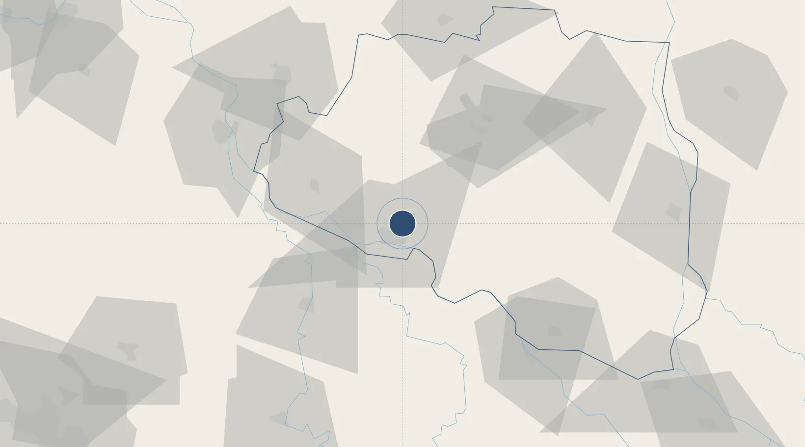
24.4372°, 88.6165°
6,000 ft
Longest runway
1
Runways
64 ft
Elevation

Runway & Layout

Shah Makhdum Airport runway & taxiway layout
Runway & taxiway layout — OpenStreetMap (ODbL) / OurAirports

Radio Frequencies

TWR
122.9 MHz
OurAirports

Navaids

RAJ VOR Rajshahi 114.60 MHz
RJ NDB Rajshahi 228 kHz
OurAirports

Runways · 1

RunwayDimensions SurfaceTrue headingLit
17/35 6,000 × 100ft Asphalt 170°
OurAirports

Airport Specifications

IATA code
RJH
OurAirports
ICAO code
VGRJ
OurAirports
Airport class
Medium airport
OurAirports
Scheduled service
Yes
OurAirports
Runway surface
Asphalt
OurAirports
Served city
Rajshahi
OurAirports

Location

Location of VGRJ
Natural Earth 10m (public domain) · Rajshahi · VGRJ · 24.44, 88.62GoogleOSMYandex

Nearby Logistics Neighbours

Airports
  1. 1Ishurdi Airport54 km
  2. 2Saidpur Airport150 km
  3. 3Jessore Airport150 km
  4. 4Panagarh Air Force Station161 km
  5. 5Kazi Nazrul Islam Airport166 km
Nearest neighbours — logibook spatial index (haversine) over the source coordinates
Cities
  1. 1Chuadanga74 km
  2. 2Bogura89 km
  3. 3Chirkunda135 km
  4. 4Raiganj Railway Station Lcs141 km
  5. 5Bardhaman154 km
Nearest neighbours — logibook spatial index (haversine) over the source coordinates
Ports
  1. 1Calcutta212 km
  2. 2Mongla241 km
  3. 3Haldia Port275 km
  4. 4Chittagong403 km
  5. 5Dhamra437 km
Nearest neighbours — logibook spatial index (haversine) over the source coordinates
Trade Zones
  1. 1Rajshahi Economic Zone1 km
  2. 2Chapainawabganj Economic Zone40 km
  3. 3Natore Economic Zone44 km
  4. 4Ishwardi Export Processing Zone58 km
  5. 5Shariatpur Economic Zone, Jajira67 km
Nearest neighbours — logibook spatial index (haversine) over the source coordinates
DatabookThe Record of Consolidated Knowledge
Bangladesh beyond logistics?
Browse databook

All Sources

AirportsOurAirports
Public domain
Portsthe NGA World Port Index
Public domain (US gov)
LocationsUN/LOCODE
UN/LOCODE — free
Trade Zonesthe World Bank SEZ database
CC BY 4.0
Trade ZonesOpen Zone Map
CC BY
InfrastructureOpenStreetMap
ODbL 1.0
← Bangladesh airports