Transport Functions
Multimodal
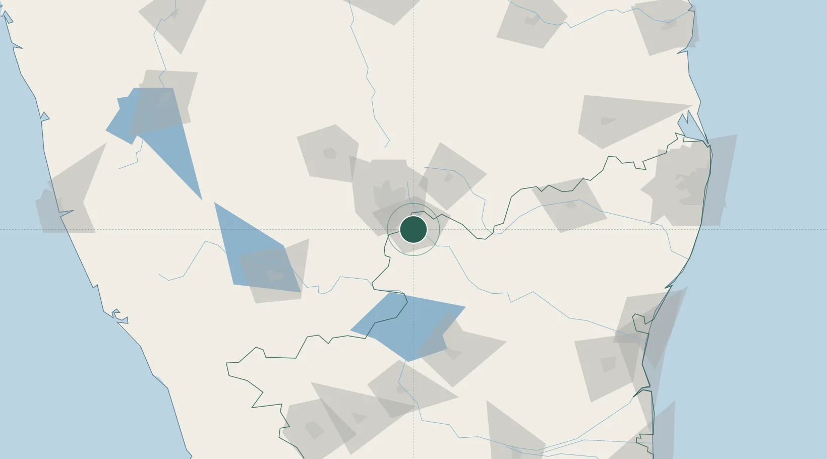
Hub Profile
Region
TN
Location
Nearby Logistics Neighbours
Cities
- 1Bd Sez/Bangalore25 km
- 2Apllp Sez/Bangalore29 km
- 3Itpl Sezii/Whitefield29 km
- 4Bangalore34 km
- 5Sdpl Sez/Bangalore34 km
Ports
- 1Pondicherry236 km
- 2Cuddalore239 km
- 3Chennai (Madras)273 km
- 4Calicut (Kozhikode)276 km
- 5Beypore279 km
Airports
- 1HAL Airport31 km
- 2Jakkur Aerodrome47 km
- 3Kempegowda International Airport Bengaluru55 km
- 4Salem Airport107 km
- 5Mysore Airport137 km
Trade Zones
DatabookThe Record of Consolidated Knowledge
India beyond logistics?