Specialized Zone · India
Cessna SEZ Active
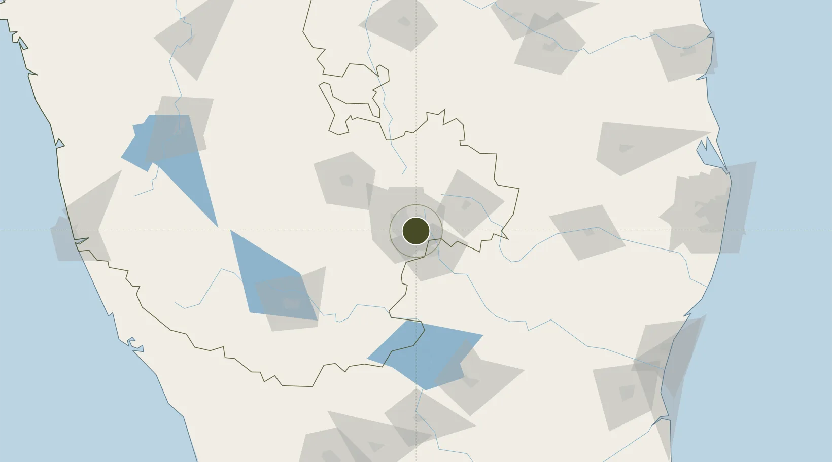
12.9365°, 77.6933°
18 ha
Zone area
257.8 km
Nearest port
3.1 km
Nearest airport
Gateway access
Zone profile
Zone type
Specialized Zone
Specialization
IT
Region
Karnataka
Status
Active
Management
Private
Operator
Pluto Cessna Business Parks Ltd.
Legal framework
Proceedings of Gov't of Karnataka: Sutbstate Policy for Special Economic Zones – 2009
Location
Nearby Logistics Neighbours
Ports
- 1Pondicherry258 km
- 2Cuddalore263 km
- 3Calicut (Kozhikode)281 km
- 4Azhikal (Azhikkal)281 km
- 5Chennai (Madras)283 km
Airports
- 1HAL Airport3 km
- 2Jakkur Aerodrome19 km
- 3Kempegowda International Airport Bengaluru29 km
- 4Salem Airport135 km
- 5Sri Sathya Sai Airport135 km
Cities
- 1Itpl Sezii/Whitefield7 km
- 2Apllp Sez/Bangalore10 km
- 3Bangalore11 km
- 4Bd Sez/Bangalore12 km
- 5Bbrel Sez/Kundalahalli13 km
DatabookThe Record of Consolidated Knowledge
India beyond logistics?