Medium airport · India
Salem AirportVOSM
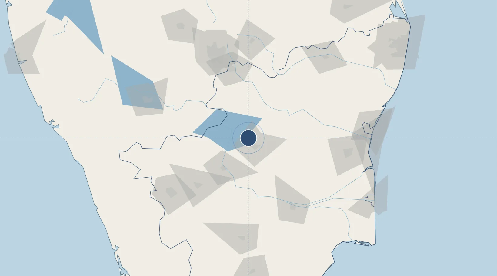
11.7833°, 78.0656°
5,925 ft
Longest runway
1
Runways
1,008 ft
Elevation
Runway & Layout

Radio Frequencies
twr
122.4 MHz
training acadamy
Runways · 1
| Runway | Dimensions | Surface | True heading | Lit |
|---|---|---|---|---|
| 04/22 | 5,925 × 150ft | Asphalt | 034° | — |
Airport Specifications
IATA code
SXV
ICAO code
VOSM
Airport class
Medium airport
Scheduled service
No
Runway surface
Asphalt
Served city
Salem
Location
Nearby Logistics Neighbours
Airports
- 1Tiruchirappalli International Airport134 km
- 2HAL Airport137 km
- 3Coimbatore International Airport139 km
- 4Jakkur Aerodrome153 km
- 5Mysore Airport161 km
Cities
- 1Yercaud18 km
- 2ECTN SEZ/Salem19 km
- 3Erode60 km
- 4Sipcot-SEZ/Erode60 km
- 5Etlisl-SEZ/Erode60 km
Ports
- 1Cuddalore185 km
- 2Pondicherry193 km
- 3Karaikal Port223 km
- 4Nagappattinam225 km
- 5Beypore256 km
Trade Zones
DatabookThe Record of Consolidated Knowledge
India beyond logistics?