Transport Functions
Multimodal
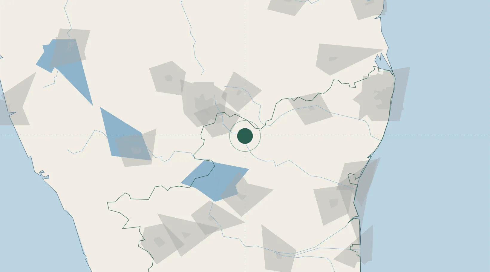
Hub Profile
Region
TN
Location
Nearby Logistics Neighbours
Cities
- 1ECTN SEZ/Krishnagiri4 km
- 2SIPC SEZ/Krishnagiri4 km
- 3HOSUR ICD46 km
- 4Bangarapet50 km
- 5Itpl Sezii/Whitefield69 km
Ports
- 1Pondicherry190 km
- 2Cuddalore193 km
- 3Chennai (Madras)236 km
- 4Kamarajar Port246 km
- 5Karaikal Port262 km
Airports
- 1HAL Airport74 km
- 2Salem Airport85 km
- 3Jakkur Aerodrome89 km
- 4Kempegowda International Airport Bengaluru91 km
- 5Mysore Airport171 km
Trade Zones
DatabookThe Record of Consolidated Knowledge
India beyond logistics?