Transport Functions
Rail
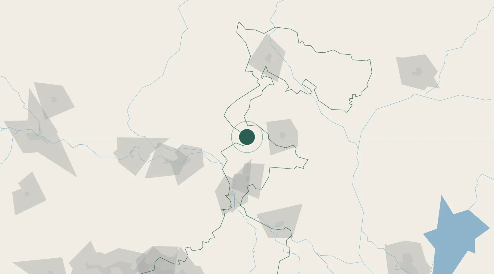
Hub Profile
Region
WB
Location
Nearby Logistics Neighbours
Cities
- 1Loksan Lcs117 km
- 2Birpara Lcs118 km
- 3Changrabandha120 km
- 4Siliguri126 km
- 5Kulkuli Lcs126 km
Ports
- 1Calcutta342 km
- 2Mongla381 km
- 3Haldia Port400 km
- 4Chittagong525 km
- 5Dhamra547 km
Airports
- 1Saidpur Airport81 km
- 2Bhadrapur Airport106 km
- 3Bagdogra Airport120 km
- 4Biratnagar Airport129 km
- 5Shah Makhdum Airport141 km
Trade Zones
DatabookThe Record of Consolidated Knowledge
India beyond logistics?