Transport Functions
Multimodal
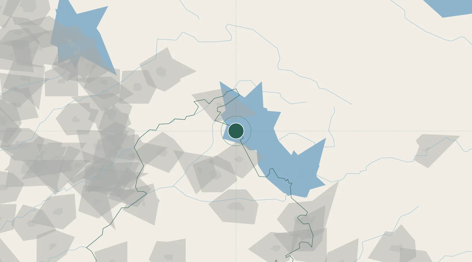
Hub Profile
Place type
Populated place
Region
Punjab
Population
24,752
Time zone
Asia/Kolkata
Elevation
356 m
Location
Nearby Logistics Neighbours
Cities
- 1Hoshiarpur47 km
- 2Una64 km
- 3Anandpur Sahib97 km
- 4Tarn Taran105 km
- 5Bari Brahmana119 km
Ports
- 1Navlakhi1132 km
- 2Kandla1135 km
- 3Muhamamad Bin Qasim1152 km
- 4Karachi1177 km
- 5Dahej1185 km
Airports
- 1Pathankot Airport40 km
- 2Kangra Airport45 km
- 3Adampur Airport57 km
- 4Sri Guru Ram Das Ji International Airport104 km
- 5Ludhiana Airport120 km
Trade Zones
DatabookThe Record of Consolidated Knowledge
India beyond logistics?