Medium airport · India
Pathankot AirportVIPK
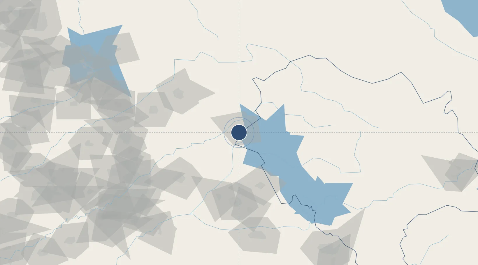
32.2336°, 75.6344°
8,970 ft
Longest runway
1
Runways
1,017 ft
Elevation
Runway & Layout

Radio Frequencies
TWR
122.7 MHz
APP
122.7 MHz
Navaids
PK NDB Pathankot 393 kHz
Runways · 1
| Runway | Dimensions | Surface | True heading | Lit |
|---|---|---|---|---|
| 01/19 | 8,970 × 150ft | Asphalt | 009° | ✓ |
Airport Specifications
IATA code
IXP
ICAO code
VIPK
Airport class
Medium airport
Scheduled service
Yes
Runway surface
Asphalt
Served city
Pathankot
Location
Nearby Logistics Neighbours
Airports
- 1Kangra Airport60 km
- 2Udhampur Air Force Station87 km
- 3Adampur Airport90 km
- 4Jammu Airport90 km
- 5Sri Guru Ram Das Ji International Airport98 km
Cities
- 1Talwara40 km
- 2Bari Brahmana81 km
- 3Hoshiarpur84 km
- 4Jammu90 km
- 5Una104 km
Ports
- 1Navlakhi1151 km
- 2Kandla1153 km
- 3Muhamamad Bin Qasim1159 km
- 4Karachi1183 km
- 5Bedi1207 km
Trade Zones
- 1Sialkot Export Processing Zone126 km
- 2Gujranwala Export Processing Zone152 km
- 3Mirpur Special Economic Zone152 km
- 4Rachna Industrial Park159 km
- 5Quarkcity India Pvt. Ltd.197 km
DatabookThe Record of Consolidated Knowledge
India beyond logistics?