Transport Functions
Multimodal
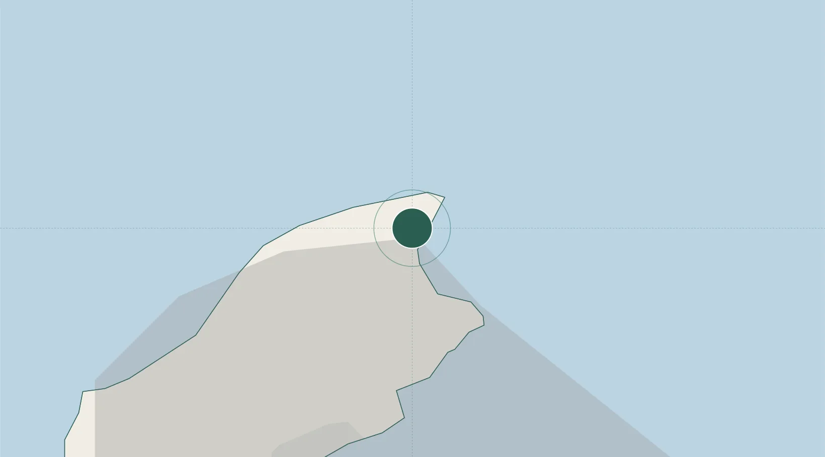
Hub Profile
Place type
Regional capital
Region
Bride
Time zone
Europe/Isle_of_Man
Elevation
62 m
Location
Nearby Logistics Neighbours
Cities
- 1Ramsey7 km
- 2Douglas25 km
- 3Peel31 km
- 4Santon32 km
- 5Isle of Whithorn35 km
Ports
- 1Ramsey8 km
- 2Douglas27 km
- 3Workington53 km
- 4Stranraer71 km
- 5Barrow In Furness80 km
Airports
- 1Isle of Man Airport37 km
- 2Barrow Walney Island Airport78 km
- 3George Best Belfast City Airport100 km
- 4Blackpool Airport112 km
- 5Carlisle Lake District Airport119 km
Trade Zones
DatabookThe Record of Consolidated Knowledge
Isle of Man beyond logistics?