Transport Functions
Port
Road
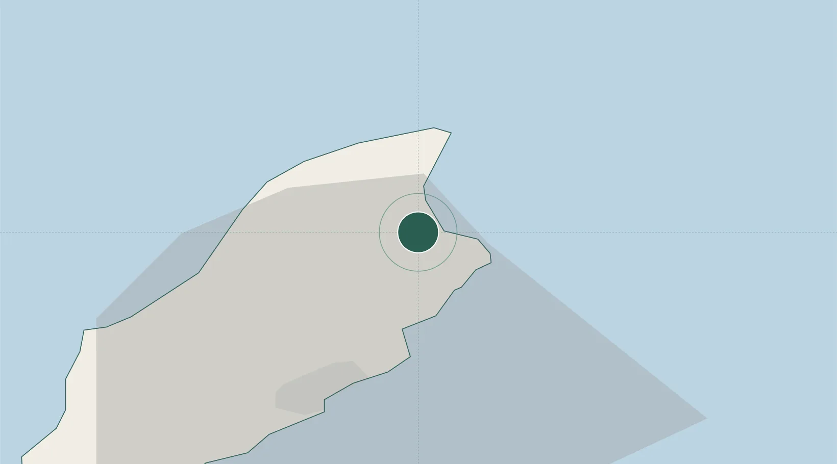
Hub Profile
Place type
Regional capital
Region
Ramsey
Population
7,845
Time zone
Europe/Isle_of_Man
Elevation
7 m
Location
Nearby Logistics Neighbours
Cities
- 1Bride7 km
- 2Douglas18 km
- 3Santon26 km
- 4Peel27 km
- 5Castletown31 km
Ports
- 1Douglas19 km
- 2Workington56 km
- 3Stranraer77 km
- 4Barrow In Furness78 km
- 5Ardglass80 km
Airports
- 1Isle of Man Airport30 km
- 2Barrow Walney Island Airport76 km
- 3George Best Belfast City Airport102 km
- 4Blackpool Airport107 km
- 5Warton Aerodrome117 km
Trade Zones
DatabookThe Record of Consolidated Knowledge
Isle of Man beyond logistics?