Transport Functions
Port
Road
Hub Profile
Place type
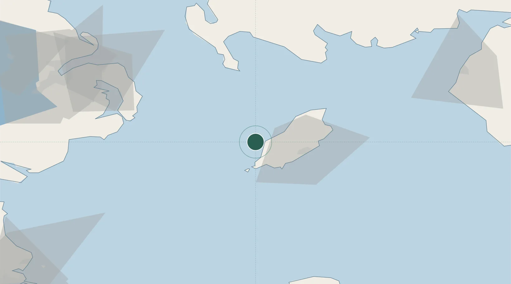
Regional capital
Region
Peel
Population
5,374
Time zone
Europe/Isle_of_Man
Elevation
22 m
Location
Nearby Logistics Neighbours
Cities
- 1Port Erin15 km
- 2Santon16 km
- 3Castletown17 km
- 4Port Saint Mary17 km
- 5Port Saint Mary17 km
Airports
- 1Isle of Man Airport18 km
- 2George Best Belfast City Airport84 km
- 3Barrow Walney Island Airport98 km
- 4Belfast International Airport106 km
- 5Anglesey Airport109 km
Trade Zones
DatabookThe Record of Consolidated Knowledge
Isle of Man beyond logistics?