Transport Functions
Port
Multimodal
Hub Profile
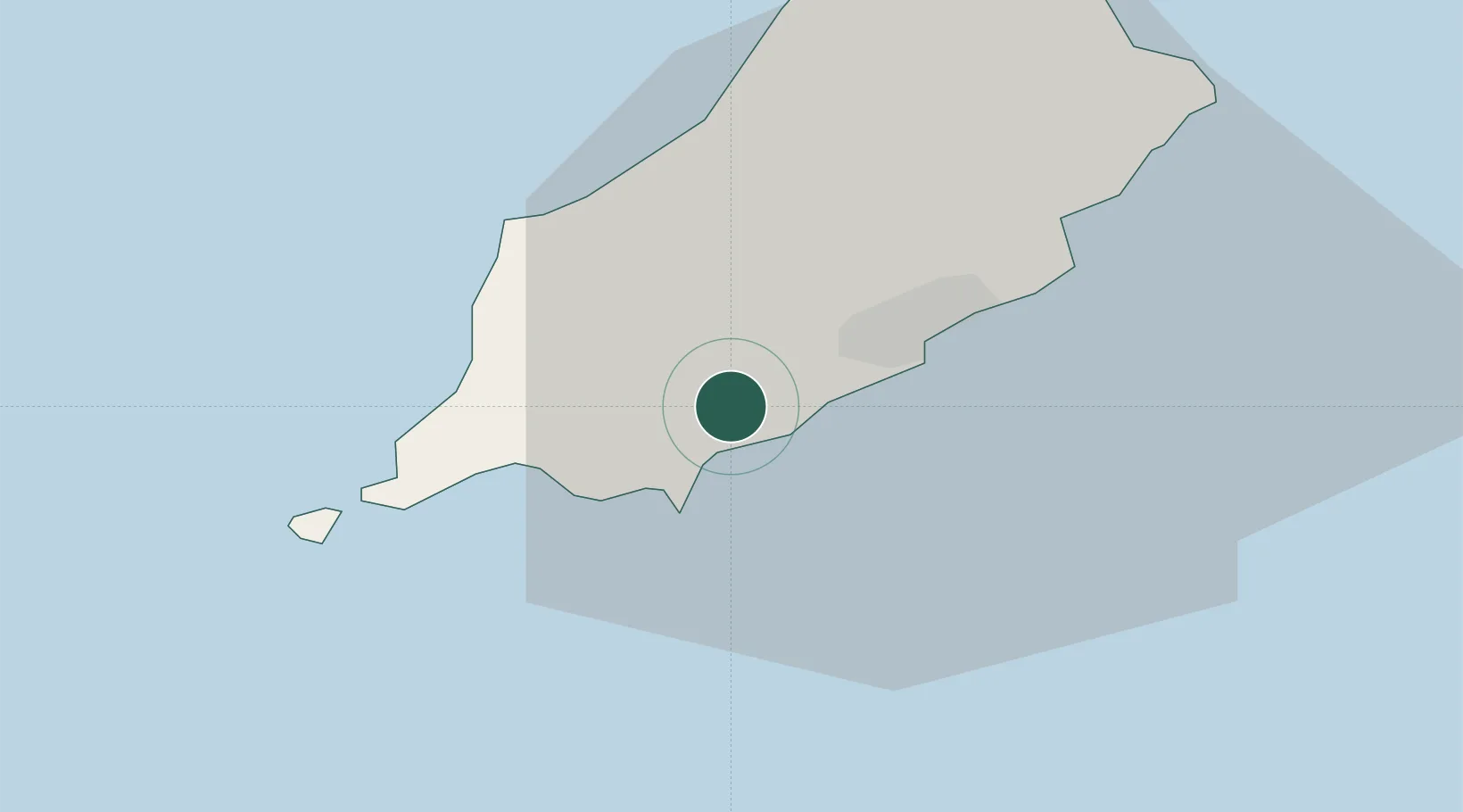
Place type
Regional capital
Region
Santon
Time zone
Europe/Isle_of_Man
Elevation
71 m
Location
Nearby Logistics Neighbours
Cities
- 1Castletown6 km
- 2Douglas9 km
- 3Port Saint Mary11 km
- 4Port Saint Mary11 km
- 5Port Erin13 km
Ports
- 1Douglas9 km
- 2Ramsey26 km
- 3Ardglass69 km
- 4Workington79 km
- 5Barrow In Furness88 km
Airports
- 1Isle of Man Airport5 km
- 2Barrow Walney Island Airport86 km
- 3Anglesey Airport97 km
- 4George Best Belfast City Airport100 km
- 5Blackpool Airport109 km
Trade Zones
DatabookThe Record of Consolidated Knowledge
Isle of Man beyond logistics?