Transport Functions
Port
Road
Hub Profile
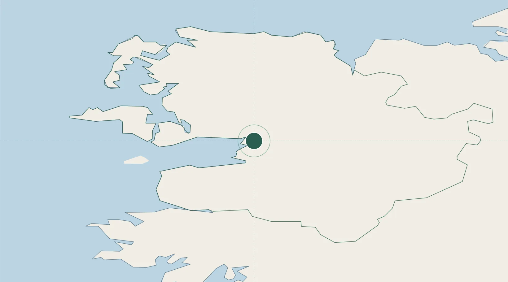
Place type
Populated place
Region
Connacht
Population
626
Time zone
Europe/Dublin
Elevation
11 m
Location
Nearby Logistics Neighbours
Cities
- 1Clare Island29 km
- 2Bangor31 km
- 3Kiltamagh35 km
- 4Ballina35 km
- 5Ballindine44 km
Airports
- 1Ireland West Airport Knock47 km
- 2Connemara Regional Airport73 km
- 3Sligo Airport75 km
- 4Inishmore Aerodrome87 km
- 5Inishmaan Aerodrome88 km
Trade Zones
DatabookThe Record of Consolidated Knowledge
Ireland beyond logistics?