Transport Functions
Port
Road
Hub Profile
Region
MO
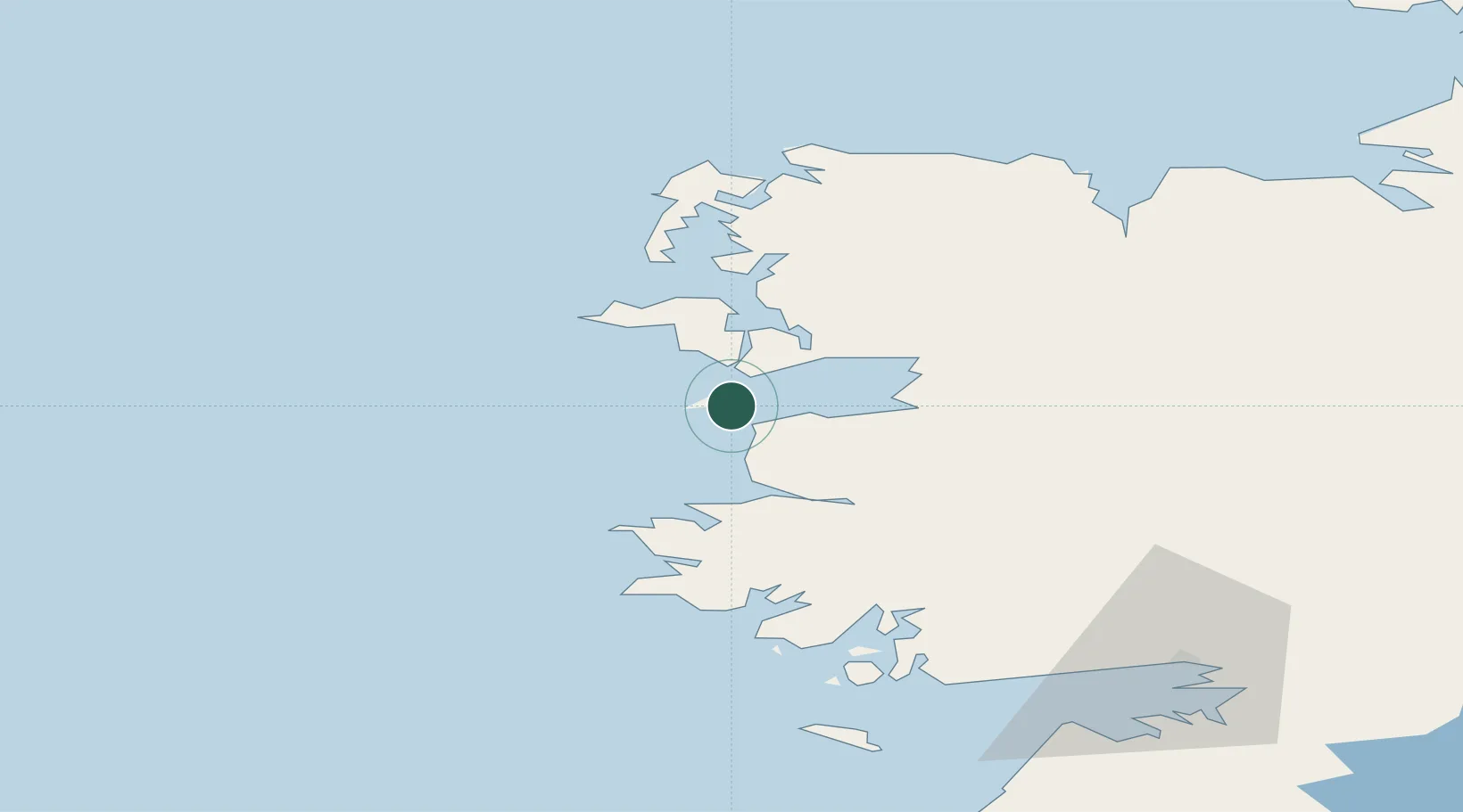
Location
Nearby Logistics Neighbours
Airports
- 1Connemara Regional Airport71 km
- 2Ireland West Airport Knock75 km
- 3Inishmore Aerodrome80 km
- 4Inishmaan Aerodrome83 km
- 5Inisheer Aerodrome87 km
Trade Zones
DatabookThe Record of Consolidated Knowledge
Ireland beyond logistics?