Transport Functions
Multimodal
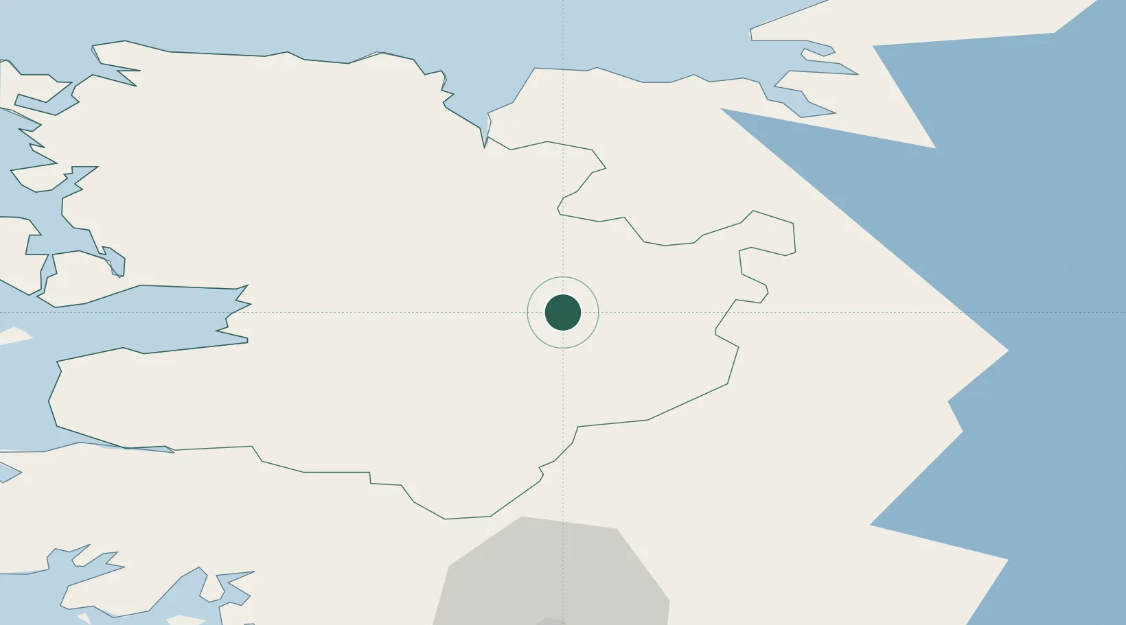
Hub Profile
Place type
Populated place
Region
Connacht
Population
1,069
Time zone
Europe/Dublin
Elevation
61 m
Location
Nearby Logistics Neighbours
Cities
- 1Ballindine21 km
- 2Ballina32 km
- 3Newport35 km
- 4Tuam38 km
- 5Easkey/Rathlee48 km
Airports
- 1Ireland West Airport Knock14 km
- 2Sligo Airport55 km
- 3Connemara Regional Airport76 km
- 4Inishmaan Aerodrome92 km
- 5Inishmore Aerodrome93 km
Trade Zones
DatabookThe Record of Consolidated Knowledge
Ireland beyond logistics?