Transport Functions
Rail
Road
Multimodal
Hub Profile
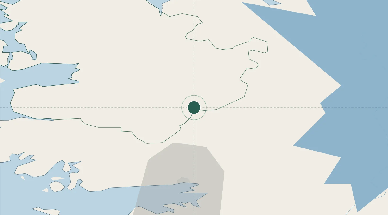
Place type
Populated place
Region
Connacht
Population
350
Time zone
Europe/Dublin
Elevation
60 m
Location
Nearby Logistics Neighbours
Cities
- 1Tuam18 km
- 2Kiltamagh21 km
- 3Newport44 km
- 4Ballina52 km
- 5Ballymurray57 km
Airports
- 1Ireland West Airport Knock29 km
- 2Connemara Regional Airport59 km
- 3Sligo Airport72 km
- 4Inishmaan Aerodrome75 km
- 5Inisheer Aerodrome76 km
Trade Zones
DatabookThe Record of Consolidated Knowledge
Ireland beyond logistics?