Transport Functions
Port
Road
Hub Profile
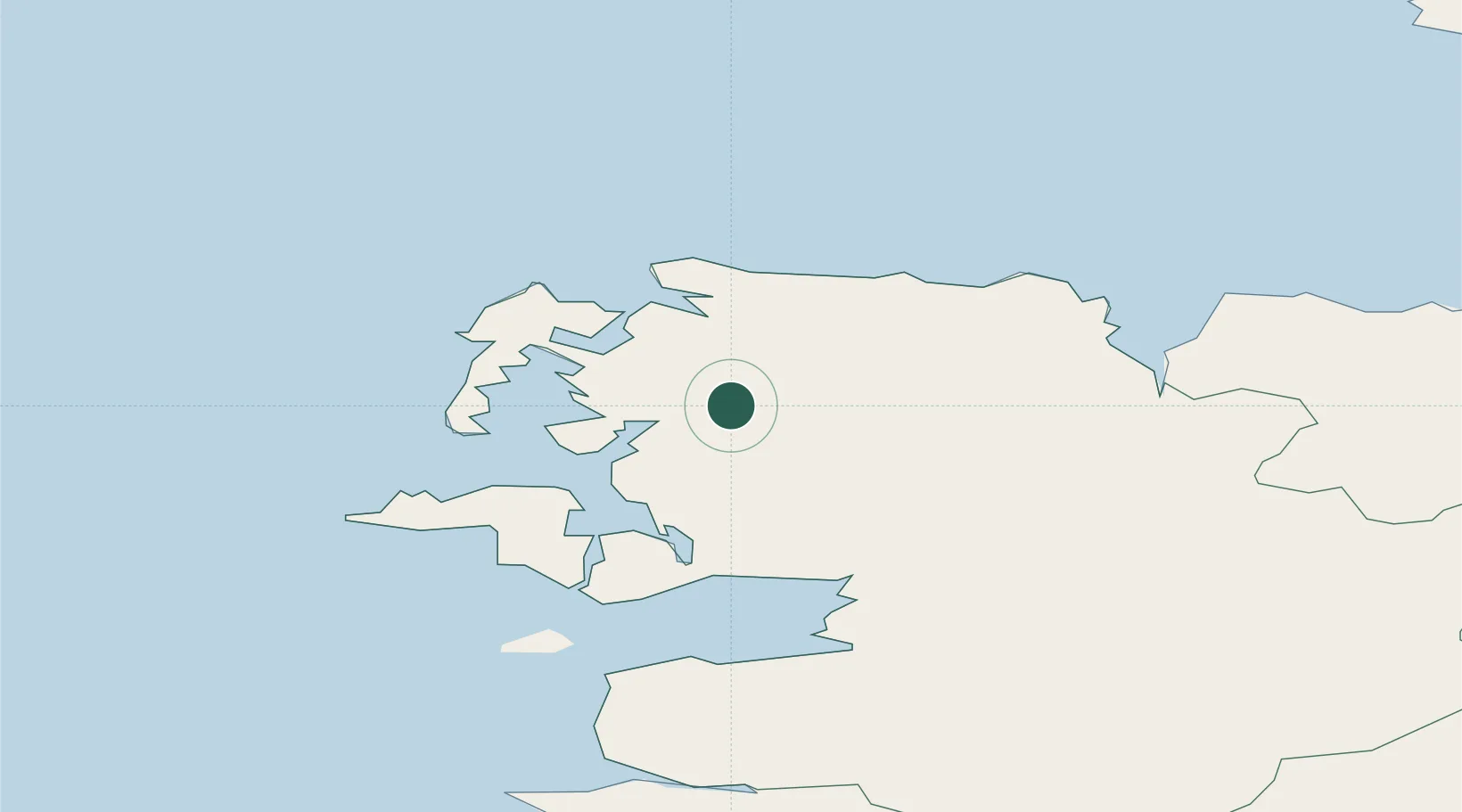
Place type
Populated place
Region
Connacht
Population
306
Time zone
Europe/Dublin
Elevation
25 m
Location
Nearby Logistics Neighbours
Cities
- 1Newport31 km
- 2Ballina37 km
- 3Clare Island40 km
- 4Easkey/Rathlee53 km
- 5Kiltamagh57 km
Airports
- 1Ireland West Airport Knock65 km
- 2Sligo Airport76 km
- 3Connemara Regional Airport102 km
- 4Inishmore Aerodrome114 km
- 5Inishmaan Aerodrome116 km
Trade Zones
DatabookThe Record of Consolidated Knowledge
Ireland beyond logistics?