Transport Functions
Road
Multimodal
Hub Profile
Place type
Populated place
Region
Leinster
Population
835
Time zone
Europe/Dublin
Elevation
85 m
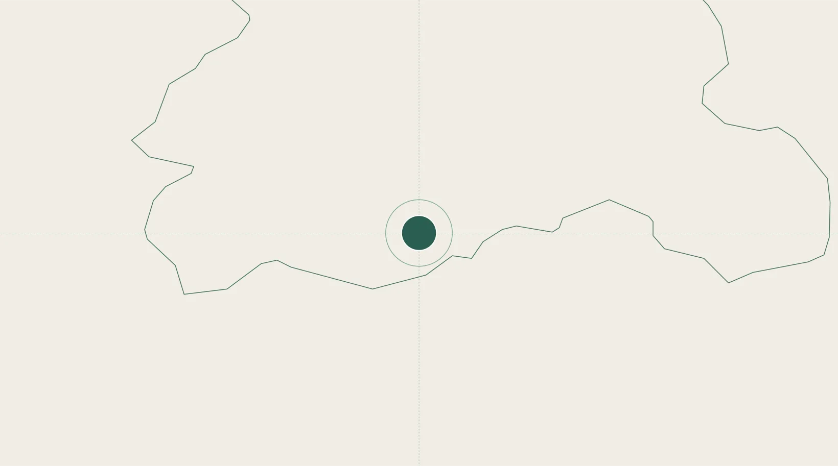
Location
Nearby Logistics Neighbours
Cities
- 1Castletown14 km
- 2Portlaoise22 km
- 3Bagenalstown35 km
- 4Callan35 km
- 5Dungarvan37 km
Airports
- 1Waterford Airport77 km
- 2Casement Air Base81 km
- 3Weston Airport83 km
- 4Dublin Airport100 km
- 5Shannon Airport104 km
Trade Zones
DatabookThe Record of Consolidated Knowledge
Ireland beyond logistics?