Large airport · Malaysia

Senai International AirportWMKJ
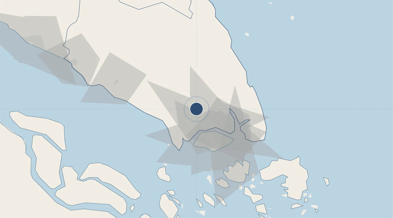
1.6413°, 103.6700°
12,467 ft
Longest runway
1
Runways
135 ft
Elevation

Runway & Layout

Senai International Airport runway & taxiway layout
Runway & taxiway layout — OpenStreetMap (ODbL) / OurAirports

Radio Frequencies

ATIS
126.6 MHz
TWR
122.5 MHz
JOHOR TWR
GND
121.8 MHz
JOHOR TWR
APP
124.7 MHz
JOHOR TWR
ACC
132.2 MHz
LUMPUR CON
OurAirports

Navaids

JB NDB Jaybee 400 kHz
JR NDB Johor Bahru 245 kHz
KK NDB Kong Kong 286 kHz
VJR VOR-DME Johor Bahru 112.70 MHz
OurAirports

Runways · 1

RunwayDimensions SurfaceTrue headingLit
16/34 12,467 × 150ft Asphalt 160°
OurAirports

Airport Specifications

IATA code
JHB
OurAirports
ICAO code
WMKJ
OurAirports
Airport class
Large airport
OurAirports
Scheduled service
Yes
OurAirports
Runway surface
Asphalt
OurAirports
Served city
Johor Bahru
OurAirports

Location

Location of WMKJ
Natural Earth 10m (public domain) · Johor · WMKJ · 1.64, 103.67GoogleOSMYandex

Nearby Logistics Neighbours

Airports
  1. 1Tengah Air Base29 km
  2. 2Sembawang Air Base29 km
  3. 3Seletar Airport33 km
  4. 4Paya Lebar Air Base41 km
  5. 5Singapore Changi Airport48 km
Nearest neighbours — logibook spatial index (haversine) over the source coordinates
Cities
  1. 1Senai5 km
  2. 2Tampoi18 km
  3. 3Taman Molek18 km
  4. 4Ulu Tiram18 km
  5. 5Bandar Tenggara26 km
Nearest neighbours — logibook spatial index (haversine) over the source coordinates
Ports
  1. 1Johor35 km
  2. 2Tanjung Pelepas35 km
  3. 3Jurong Island40 km
  4. 4Keppel - (East Singapore)45 km
  5. 5Pulau Bukom47 km
Nearest neighbours — logibook spatial index (haversine) over the source coordinates
Trade Zones
  1. 1Sultan Ismail International Airport Free Industrial Zone, Johor1 km
  2. 2Senai Free Zone1 km
  3. 3Senai Airport City Phase One2 km
  4. 4I-Park@ Senai Airport City5 km
  5. 5Senai-Skudai Flagship Zone8 km
Nearest neighbours — logibook spatial index (haversine) over the source coordinates
DatabookThe Record of Consolidated Knowledge
Malaysia beyond logistics?
Browse databook

All Sources

AirportsOurAirports
Public domain
Portsthe NGA World Port Index
Public domain (US gov)
LocationsUN/LOCODE
UN/LOCODE — free
Trade Zonesthe World Bank SEZ database
CC BY 4.0
Trade ZonesOpen Zone Map
CC BY
InfrastructureOpenStreetMap
ODbL 1.0
← Malaysia airports