Transport Functions
Port
Hub Profile
Region
RI
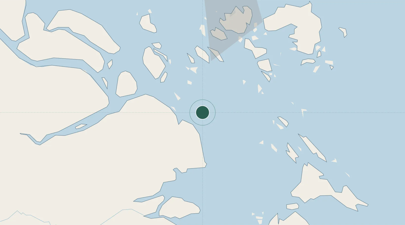
Location
Nearby Logistics Neighbours
Cities
- 1Durian73 km
- 2Tanjungbalai77 km
- 3Sekupang83 km
- 4Nipah84 km
- 5Lobam86 km
Ports
- 1Tanjung Balai Karimun76 km
- 2Sekupang83 km
- 3Pulau Sambu86 km
- 4Tanjunguban88 km
- 5Pulau Sebarok89 km
Airports
Trade Zones
DatabookThe Record of Consolidated Knowledge
Indonesia beyond logistics?