Medium airport · Indonesia

Husein Sastranegara International AirportWICC
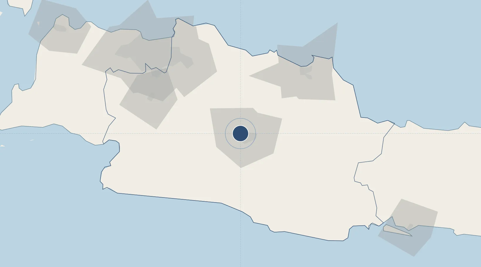
-6.9006°, 107.5760°
7,381 ft
Longest runway
1
Runways
2,436 ft
Elevation

Runway & Layout

Husein Sastranegara International Airport runway & taxiway layout
Runway & taxiway layout — OpenStreetMap (ODbL) / OurAirports

Radio Frequencies

TWR
118.65 MHz
APP
121 MHz
BANDUNG APP
OurAirports

Navaids

BND VOR-DME Bandung 117.00 MHz
OY NDB Bandung 300 kHz
OurAirports

Runways · 1

RunwayDimensions SurfaceTrue headingLit
11/29 7,381 × 148ft Asphalt 109°
OurAirports

Airport Specifications

IATA code
BDO
OurAirports
ICAO code
WICC
OurAirports
Airport class
Medium airport
OurAirports
Scheduled service
Yes
OurAirports
Runway surface
Asphalt
OurAirports
Served city
Bandung
OurAirports

Location

Location of WICC
Natural Earth 10m (public domain) · Jawa Barat · WICC · -6.90, 107.58GoogleOSMYandex

Nearby Logistics Neighbours

Airports
  1. 1Kertajati International Airport71 km
  2. 2Halim Perdanakusuma International Airport103 km
  3. 3Soekarno-Hatta International Airport133 km
  4. 4Nusawiru Airport136 km
  5. 5Tunggul Wulung Airport181 km
Nearest neighbours — logibook spatial index (haversine) over the source coordinates
Cities
  1. 1Nagrak19 km
  2. 2Jababeka84 km
  3. 3Jakarta, Java101 km
  4. 4Balongan108 km
  5. 5Pasar Rebo108 km
Nearest neighbours — logibook spatial index (haversine) over the source coordinates
Ports
  1. 1Cirebon111 km
  2. 2Ardjuna Oil Field114 km
  3. 3Jakarta117 km
  4. 4Tegal172 km
  5. 5Cilacap182 km
Nearest neighbours — logibook spatial index (haversine) over the source coordinates
Trade Zones
  1. 1Rancaekek Industrial Estate25 km
  2. 2Kota Bukit Indah Industrial City52 km
  3. 3Kujang Industrial Estate57 km
  4. 4Mitrakarawang Industrial Estate65 km
  5. 5Karawang International Industrial City68 km
Nearest neighbours — logibook spatial index (haversine) over the source coordinates
DatabookThe Record of Consolidated Knowledge
Indonesia beyond logistics?
Browse databook

All Sources

AirportsOurAirports
Public domain
Portsthe NGA World Port Index
Public domain (US gov)
LocationsUN/LOCODE
UN/LOCODE — free
Trade Zonesthe World Bank SEZ database
CC BY 4.0
Trade ZonesOpen Zone Map
CC BY
InfrastructureOpenStreetMap
ODbL 1.0
← Indonesia airports