Industrial Estate · Indonesia

Kujang Industrial Estate
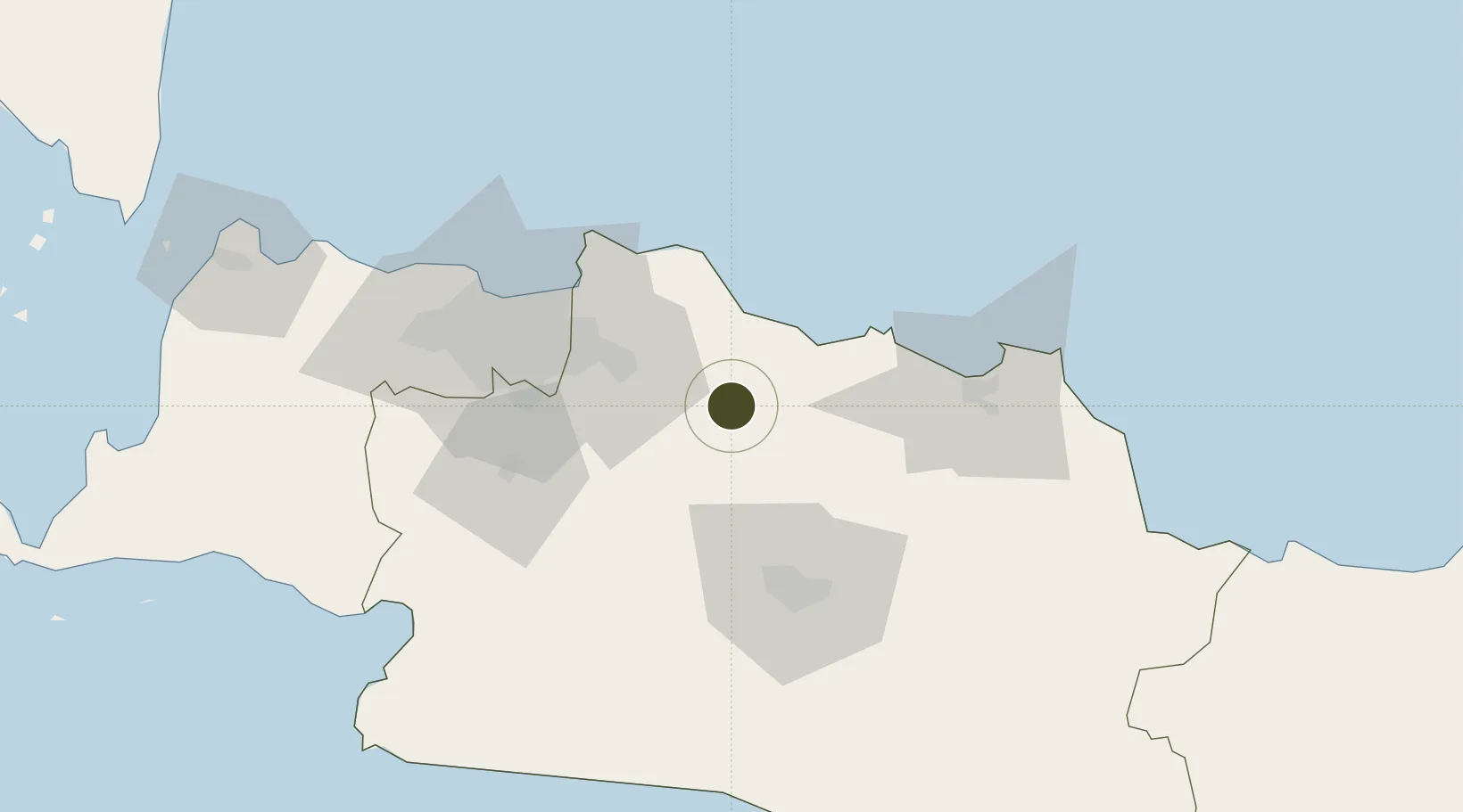
-6.4085°, 107.4354°
110 ha
Zone area
66.2 km
Nearest port
56.9 km
Nearest airport

Gateway access

Nearest neighbours — logibook spatial index (haversine) over the source coordinates

Zone profile

Zone type
Industrial Estate
the World Bank SEZ database
Region
Jawa Barat
the World Bank SEZ database
Established
1990
the World Bank SEZ database
Management
Private management
the World Bank SEZ database
Operator
PT Kawasan Industri Kujang Cikampek
the World Bank SEZ database
Regulatory authority
Industrial Estate Authority of Indonesia*
the World Bank SEZ database
Legal framework
Government Regulation No 142/2015
the World Bank SEZ database

Location

Location of IDN27
Natural Earth 10m (public domain) · Jawa Barat · IDN27 · -6.41, 107.44GoogleOSMYandex

Fiscal & incentives

Corporate tax
25%
the World Bank SEZ database
Tax relief
Under review
the World Bank SEZ database
Relief duration
Under review
the World Bank SEZ database
VAT
Under review
the World Bank SEZ database
Import duty (inputs)
Under review
the World Bank SEZ database
Import duty (capex)
Under review
the World Bank SEZ database
Profit repatriation
Under review
the World Bank SEZ database
Capital gains
Under review
the World Bank SEZ database
Withholding tax
Under review
the World Bank SEZ database
Min. investment
None
the World Bank SEZ database
Min. export
0%
the World Bank SEZ database
Employment incentive
Under review
the World Bank SEZ database
Developer incentive
No established framework
the World Bank SEZ database

Nearby Logistics Neighbours

Ports
  1. 1Ardjuna Oil Field66 km
  2. 2Jakarta70 km
  3. 3Cirebon130 km
  4. 4Tanjung Sekong168 km
  5. 5Merak Mas Terminal168 km
Nearest neighbours — logibook spatial index (haversine) over the source coordinates
Airports
  1. 1Husein Sastranegara International Airport57 km
  2. 2Halim Perdanakusuma International Airport62 km
  3. 3Kertajati International Airport85 km
  4. 4Soekarno-Hatta International Airport92 km
  5. 5Nusawiru Airport187 km
Nearest neighbours — logibook spatial index (haversine) over the source coordinates
Cities
  1. 1Jababeka35 km
  2. 2Jakarta, Java50 km
  3. 3Jakarta Utara63 km
  4. 4New Priok Port68 km
  5. 5Jakarta Pusat71 km
Nearest neighbours — logibook spatial index (haversine) over the source coordinates
Trade Zones
  1. 1Kota Bukit Indah Industrial City5 km
  2. 2Mitrakarawang Industrial Estate14 km
  3. 3Karawang International Industrial City18 km
  4. 4Greenland International Industrial City27 km
  5. 5Indonesia-China Industrial Estate30 km
Nearest neighbours — logibook spatial index (haversine) over the source coordinates
DatabookThe Record of Consolidated Knowledge
Indonesia beyond logistics?
Browse databook

All Sources

Trade Zonesthe World Bank SEZ database
CC BY 4.0
Portsthe NGA World Port Index
Public domain (US gov)
AirportsOurAirports
Public domain
LocationsUN/LOCODE
UN/LOCODE — free
← Indonesia trade zones