Transport Functions
Rail
Hub Profile
Place type
Populated place
Region
Bekes County
Population
11,306
Time zone
Europe/Budapest
Elevation
81 m
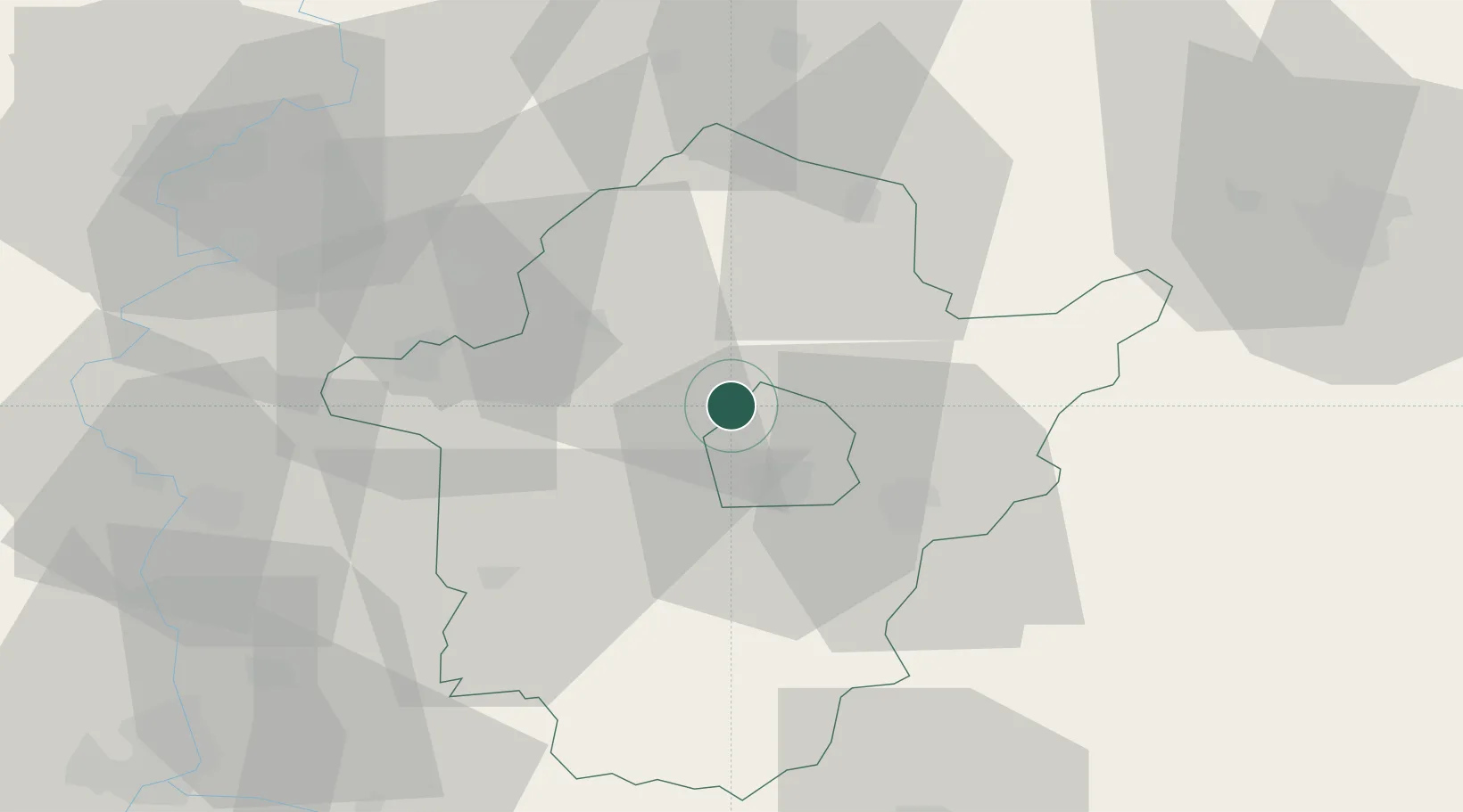
Location
Nearby Logistics Neighbours
Cities
- 1Békés11 km
- 2Körösladány17 km
- 3Telekgerendás20 km
- 4Devavanya24 km
- 5Füzesgyarmat35 km
Airports
- 1Szolnok Air Base68 km
- 2Oradea International Airport71 km
- 3Arad International Airport74 km
- 4Debrecen International Airport88 km
- 5Kecskemét Air Base97 km
Trade Zones
- 1Free Zone Curtici Arad56 km
- 2VGP Park Arad73 km
- 3VGP Park Timisoara115 km
- 4Subotica Free Zone134 km
- 5Zrenjanin Free Zone168 km
DatabookThe Record of Consolidated Knowledge
Hungary beyond logistics?