Free Trade Zone · Romania

Free Zone Curtici Arad Active
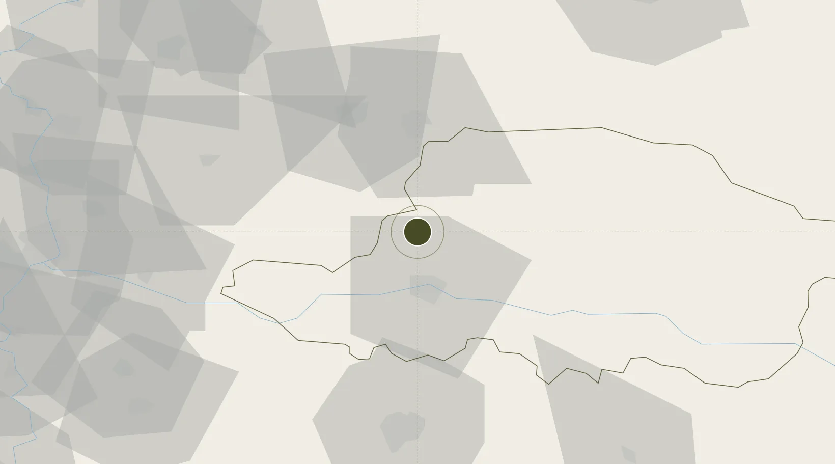
46.3508°, 21.2837°
90 ha
Zone area
473.1 km
Nearest port
19.5 km
Nearest airport

Gateway access

Nearest neighbours — logibook spatial index (haversine) over the source coordinates

Zone profile

Zone type
Free Trade Zone
Open Zone Map
Region
Arad
Open Zone Map
Status
Active
Open Zone Map
Management
Private
Open Zone Map
Operator
The Curtici Arad Free Trade Zone
Open Zone Map
Legal framework
Law no.84/1992 (Regime of Free Zones in Romania), Government Urgency Ordinance no.31/1997 (Regime of Foreign Investments in Romania), Law no. 332/2001 (Promotion of FDI with Significant Impact on the Economy)
Open Zone Map

Location

Location of ozm-3991
Natural Earth 10m (public domain) · Arad · ozm-3991 · 46.35, 21.28GoogleOSMYandex

Nearby Logistics Neighbours

Ports
  1. 1Risan473 km
  2. 2Ploce477 km
  3. 3Neum480 km
  4. 4Kotor481 km
  5. 5Tivat482 km
Nearest neighbours — logibook spatial index (haversine) over the source coordinates
Airports
  1. 1Arad International Airport20 km
  2. 2Timișoara Traian Vuia International Airport60 km
  3. 3Oradea International Airport89 km
  4. 4Szolnok Air Base117 km
  5. 5Caransebeş Airport128 km
Nearest neighbours — logibook spatial index (haversine) over the source coordinates
Cities
  1. 1Curtici0 km
  2. 2Lokösháza12 km
  3. 3Pecica26 km
  4. 4Arad29 km
  5. 5Telekgerendás43 km
Nearest neighbours — logibook spatial index (haversine) over the source coordinates
Trade Zones
  1. 1VGP Park Arad20 km
  2. 2VGP Park Timisoara63 km
  3. 3Zrenjanin Free Zone129 km
  4. 4Subotica Free Zone130 km
  5. 5Novi Sad Free Zone164 km
Nearest neighbours — logibook spatial index (haversine) over the source coordinates
DatabookThe Record of Consolidated Knowledge
Romania beyond logistics?
Browse databook

All Sources

Trade ZonesOpen Zone Map
CC BY
Portsthe NGA World Port Index
Public domain (US gov)
AirportsOurAirports
Public domain
LocationsUN/LOCODE
UN/LOCODE — free
← Romania trade zones