Transport Functions
Rail
Road
Hub Profile
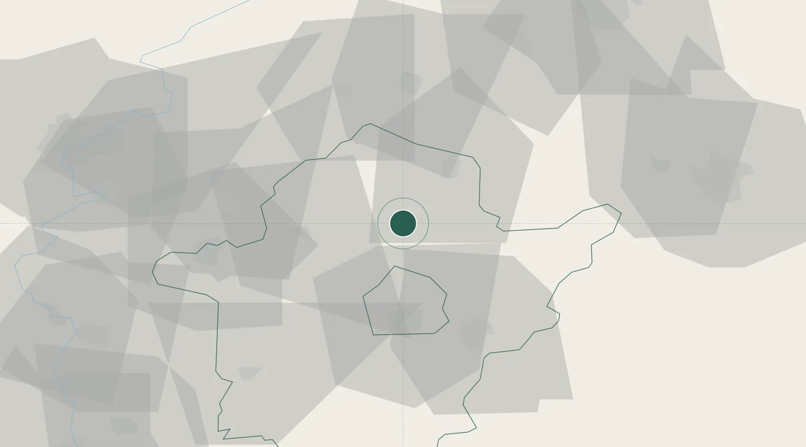
Place type
Populated place
Region
Bekes County
Population
5,006
Time zone
Europe/Budapest
Elevation
85 m
Location
Nearby Logistics Neighbours
Cities
- 1Devavanya12 km
- 2Mezöberény17 km
- 3Füzesgyarmat18 km
- 4Békés24 km
- 5Telekgerendás37 km
Airports
- 1Oradea International Airport63 km
- 2Szolnok Air Base67 km
- 3Debrecen International Airport71 km
- 4Arad International Airport89 km
- 5Kecskemét Air Base101 km
Trade Zones
- 1Free Zone Curtici Arad70 km
- 2VGP Park Arad89 km
- 3VGP Park Timisoara131 km
- 4Subotica Free Zone148 km
- 5Göd Special Economic Zone165 km
DatabookThe Record of Consolidated Knowledge
Hungary beyond logistics?