Large airport · Hungary

Debrecen International AirportLHDC
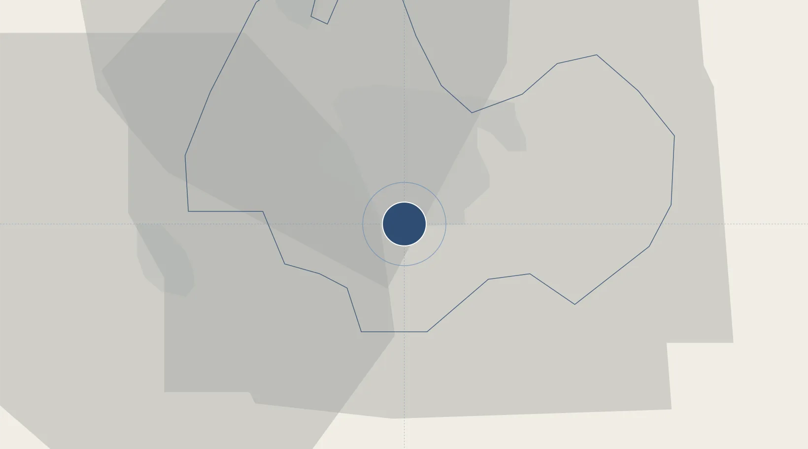
47.4895°, 21.6163°
8,196 ft
Longest runway
1
Runways
359 ft
Elevation

Runway & Layout

Debrecen International Airport runway & taxiway layout
Runway & taxiway layout — OpenStreetMap (ODbL) / OurAirports

Radio Frequencies

AFIS
125.9 MHz
INFO
INFO
133.3 MHz
BUDAPEST INFO
OurAirports

Navaids

C NDB Debrecen 326 kHz
DC NDB Debrecen 295 kHz
OurAirports

Runways · 1

RunwayDimensions SurfaceTrue headingLit
04R/22L 8,196 × 131ft Concrete 048°
OurAirports

Airport Specifications

IATA code
DEB
OurAirports
ICAO code
LHDC
OurAirports
Airport class
Large airport
OurAirports
Scheduled service
Yes
OurAirports
Runway surface
Concrete
OurAirports
Served city
Debrecen
OurAirports

Location

Location of LHDC
Natural Earth 10m (public domain) · Debrecen · LHDC · 47.49, 21.62GoogleOSMYandex

Nearby Logistics Neighbours

Airports
  1. 1Oradea International Airport56 km
  2. 2Satu Mare International Airport98 km
  3. 3Szolnok Air Base112 km
  4. 4Košice International Airport133 km
  5. 5Uzhhorod International Airport136 km
Nearest neighbours — logibook spatial index (haversine) over the source coordinates
Cities
  1. 1Debrecen5 km
  2. 2Ebes9 km
  3. 3Teglas26 km
  4. 4Kaba30 km
  5. 5Berettyóújfalu31 km
Nearest neighbours — logibook spatial index (haversine) over the source coordinates
Ports
  1. 1Braila548 km
  2. 2Senj587 km
  3. 3Ploce592 km
  4. 4Dugi Rat593 km
  5. 5Bakar595 km
Nearest neighbours — logibook spatial index (haversine) over the source coordinates
Trade Zones
  1. 1Customs Free Zone Zahony109 km
  2. 2Free Zone Curtici Arad129 km
  3. 3Transcarpathian Special Economic Zone (Zakarpattia)135 km
  4. 4VGP Park Arad149 km
  5. 5Göd Special Economic Zone185 km
Nearest neighbours — logibook spatial index (haversine) over the source coordinates
DatabookThe Record of Consolidated Knowledge
Hungary beyond logistics?
Browse databook

All Sources

AirportsOurAirports
Public domain
Portsthe NGA World Port Index
Public domain (US gov)
LocationsUN/LOCODE
UN/LOCODE — free
Trade Zonesthe World Bank SEZ database
CC BY 4.0
Trade ZonesOpen Zone Map
CC BY
InfrastructureOpenStreetMap
ODbL 1.0
← Hungary airports