Transport Functions
Rail
Road
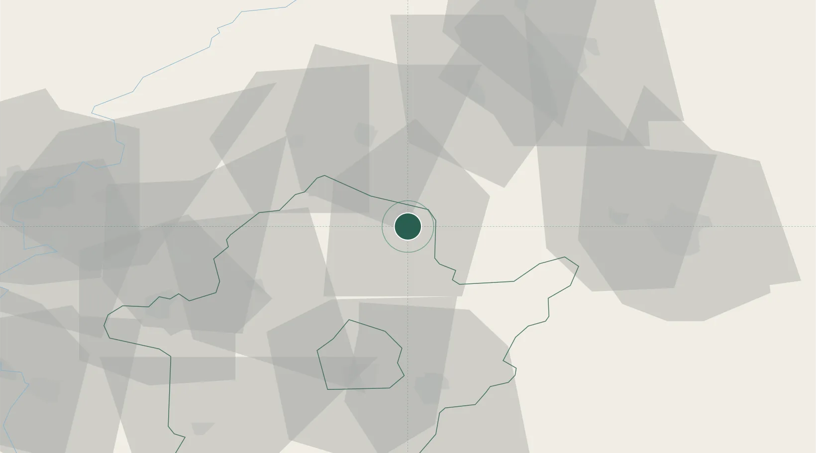
Hub Profile
Place type
Populated place
Region
Bekes County
Population
6,426
Time zone
Europe/Budapest
Elevation
86 m
Location
Nearby Logistics Neighbours
Cities
- 1Körösladány18 km
- 2Devavanya20 km
- 3Barand22 km
- 4Berettyóújfalu27 km
- 5Kaba28 km
Airports
- 1Oradea International Airport53 km
- 2Debrecen International Airport53 km
- 3Szolnok Air Base74 km
- 4Arad International Airport103 km
- 5Kecskemét Air Base113 km
Trade Zones
- 1Free Zone Curtici Arad84 km
- 2VGP Park Arad103 km
- 3VGP Park Timisoara146 km
- 4Customs Free Zone Zahony161 km
- 5Subotica Free Zone166 km
DatabookThe Record of Consolidated Knowledge
Hungary beyond logistics?