Export Processing Zone · Romania

VGP Park Arad Under Development
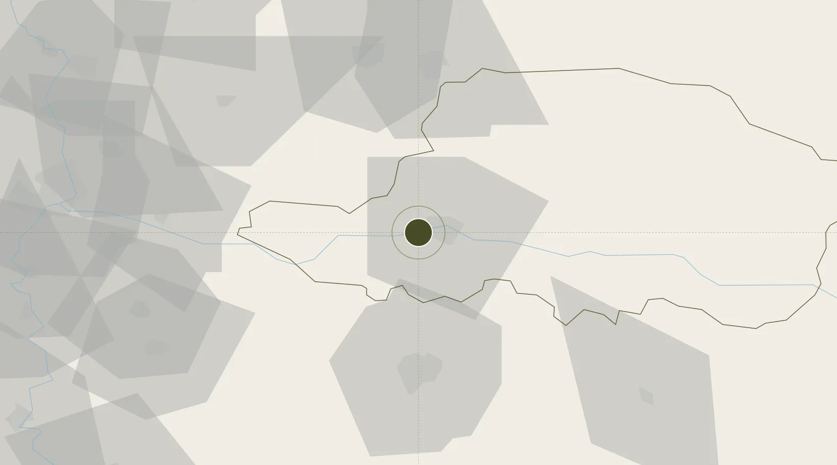
46.1753°, 21.2363°
1,960 ha
Zone area
454.0 km
Nearest port
2.2 km
Nearest airport

Gateway access

Nearest neighbours — logibook spatial index (haversine) over the source coordinates

Zone profile

Zone type
Export Processing Zone
Open Zone Map
Region
Arad
Open Zone Map
Status
Under Development
Open Zone Map
Management
Private
Open Zone Map
Operator
VGP Group
Open Zone Map
Legal framework
Government Urgency Ordinance no.31/1997 (Regime of Foreign Investments in Romania), Law no. 332/2001 (Promotion of FDI with Significant Impact on the Economy), Law no.84/1992 (Regime of Free Zones in Romania)
Open Zone Map

Location

Location of ozm-3990
Natural Earth 10m (public domain) · Arad · ozm-3990 · 46.18, 21.24GoogleOSMYandex

Nearby Logistics Neighbours

Ports
  1. 1Risan454 km
  2. 2Ploce460 km
  3. 3Kotor462 km
  4. 4Tivat462 km
  5. 5Neum463 km
Nearest neighbours — logibook spatial index (haversine) over the source coordinates
Airports
  1. 1Arad International Airport2 km
  2. 2Timișoara Traian Vuia International Airport41 km
  3. 3Oradea International Airport107 km
  4. 4Caransebeş Airport115 km
  5. 5Szolnok Air Base130 km
Nearest neighbours — logibook spatial index (haversine) over the source coordinates
Cities
  1. 1Arad11 km
  2. 2Pecica13 km
  3. 3Curtici20 km
  4. 4Lokösháza30 km
  5. 5Becicherecu Mic41 km
Nearest neighbours — logibook spatial index (haversine) over the source coordinates
Trade Zones
  1. 1Free Zone Curtici Arad20 km
  2. 2VGP Park Timisoara43 km
  3. 3Zrenjanin Free Zone111 km
  4. 4Subotica Free Zone124 km
  5. 5Novi Sad Free Zone147 km
Nearest neighbours — logibook spatial index (haversine) over the source coordinates
DatabookThe Record of Consolidated Knowledge
Romania beyond logistics?
Browse databook

All Sources

Trade ZonesOpen Zone Map
CC BY
Portsthe NGA World Port Index
Public domain (US gov)
AirportsOurAirports
Public domain
LocationsUN/LOCODE
UN/LOCODE — free
← Romania trade zones